Location: Erie 🌎
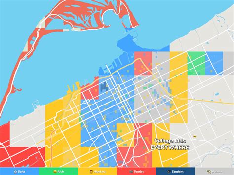
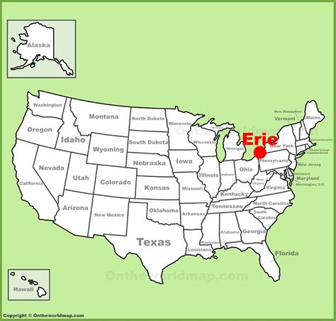
Location: Erie, United States
Administration Region: Pennsylvania
Population: 186489
ISO2 Code: Pennsylvania
ISO3 Code: USA
Location Type:
Latitude: 42.1294
Longitude: -80.085
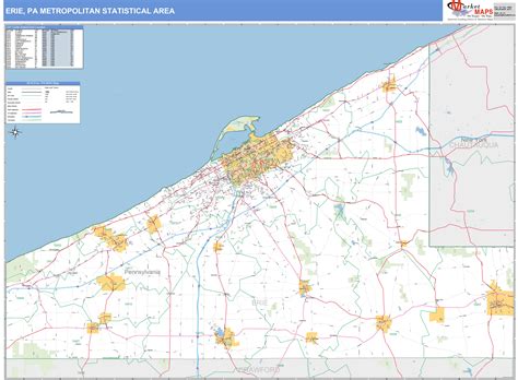
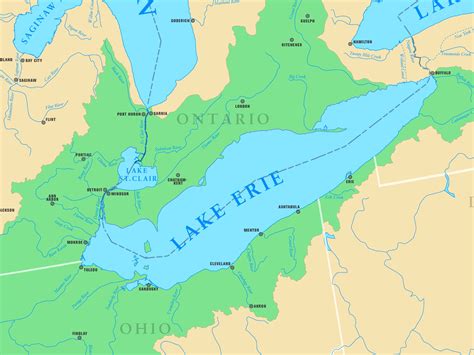
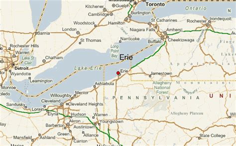
Erie (; EER-ee) is a city on the south shore of Lake Erie and the county seat of Erie County, Pennsylvania, United States. Erie is the fifth largest city in Pennsylvania and the largest city in Northwestern Pennsylvania with a population of 94,831 at the 2020 census. The estimated population in 2023 had decreased to 92,743. The Erie metropolitan area, equivalent to all of Erie County, consists of 266,096 residents. The Erie–Meadville combined statistical area had a population of 369,331 at the 2010 census.
Erie is roughly equidistant from Buffalo and Cleveland, each being about 100 miles (160 kilometers) away. Erie’s manufacturing sector remains prominent in the local economy, though insurance, healthcare, higher education, technology, service industries, and tourism are emerging as significant economic drivers. As with the other Great Lakes port cities, Erie is accessible to the oceans via the Lake Ontario and St. Lawrence River network in Canada. The local climate is humid, four-seasonal, and snowy but retains moderated winters thanks to the lakeside location.
The city was named for the Native American Erie people who lived in the area until the mid-17th century. It is known as the “Flagship City” because of its status as the home port of Oliver Hazard Perry’s flagship Niagara. It is also known as the “Gem City” because of the lake’s sparkling appearance caused by the daylight. Erie won the All-America City Award in 1972. In 2012, Erie hosted the Perry 200, a commemoration celebrating 200 years of peace between Britain, America, and Canada following the War of 1812 and Battle of Lake Erie.

Top Erie HD Maps, Free Download 🗺️
Map
Maps
United States
United States
World Map
China
China
