Location: Estarreja 🌎
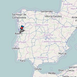
Location: Estarreja, Portugal
Administration Region: Aveiro
Population: 26997
ISO2 Code: Aveiro
ISO3 Code: PRT
Location Type: Lower-level Admin Capital
Latitude: 40.75
Longitude: -8.5667
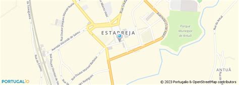
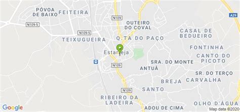
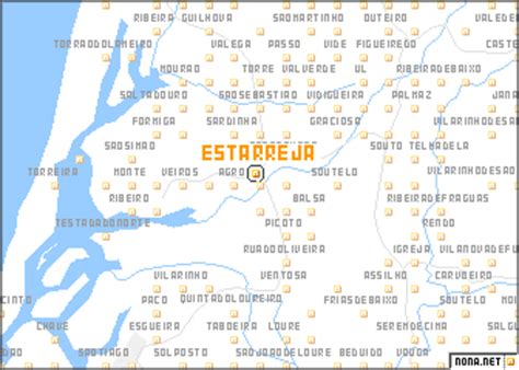
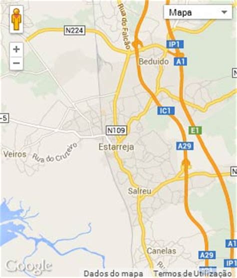
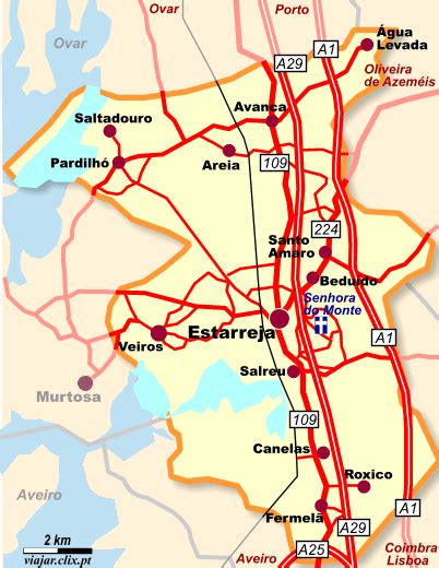
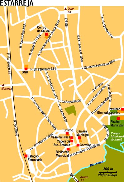
Estarreja (Portuguese pronunciation: [ɨʃtɐˈʁɐjʒɐ] or [ɨʃtɐˈʁɛʒɐ]) is a municipality in Portugal. The population in 2011 was 26,997, in an area of 108.17 km2. It had 22,746 eligible voters in 2006. The only city in the municipality is Estarreja, which is in the urban parish of Beduido. The city itself has a population of approximately 7,000. It is built along the banks of the Antuã River, near the Ria de Aveiro. Estarreja is an important chemical industry centre, being the place where several industrial facilities of CUF are located.
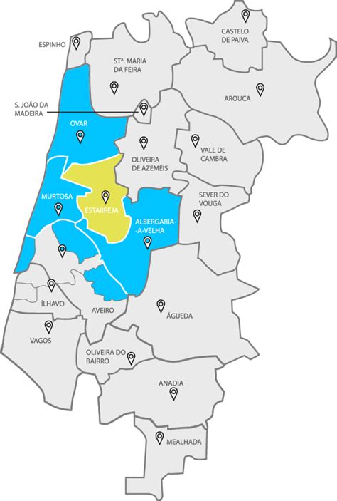
The municipality is part of the Aveiro District, in the Baixo Vouga subregion, in the Centro Region, Portugal.
Main train stations are Estarreja and Avanca.
The present Mayor is Diamantino Sabina, elected by a coalition between the Social Democratic Party and the People’s Party. The municipal holiday is 13 June, the feast of Saint Anthony of Padua.

Top Estarreja HD Maps, Free Download 🗺️
Map
Maps
United States
United States
World Map
China
China
