Location: Esztergom 🌎
Location: Esztergom, Hungary
Administration Region: Komárom-Esztergom
Population: 28026
ISO2 Code: Komárom-Esztergom
ISO3 Code: HUN
Location Type: Lower-level Admin Capital
Latitude: 47.7856
Longitude: 18.7403
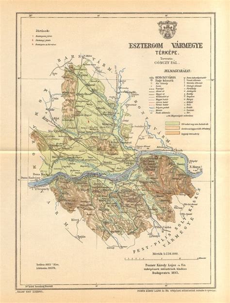
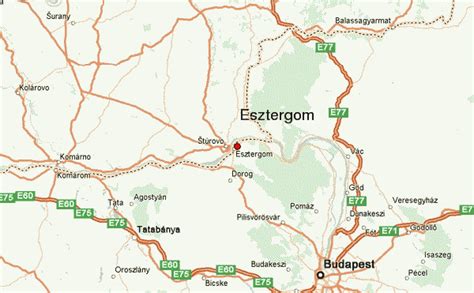
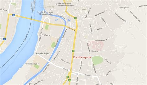
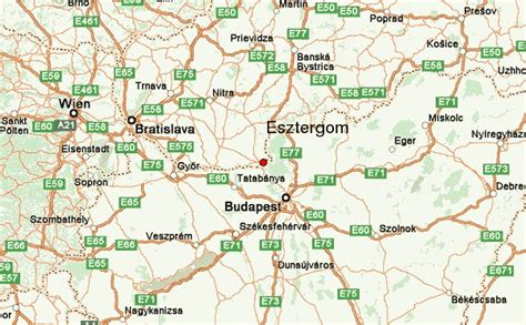
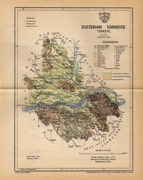
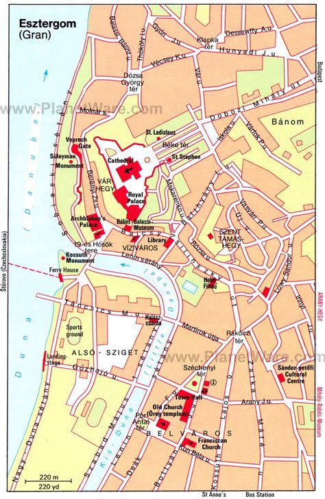
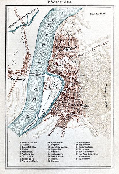
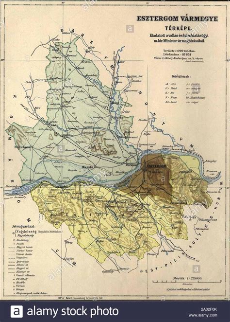
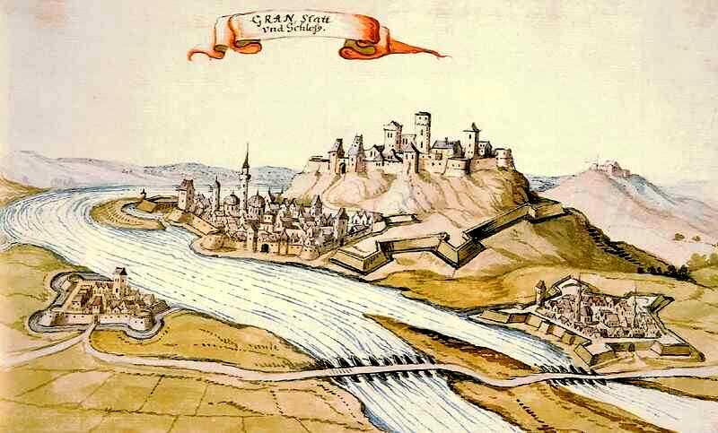
Esztergom (Hungarian pronunciation: [ˈɛstɛrɡom] listen ; German: Gran; Latin: Solva or Strigonium; Slovak: Ostrihom, known by alternative names) is a city with county rights in northern Hungary, 46 kilometres (29 miles) northwest of the capital Budapest. It lies in Komárom-Esztergom County, on the right bank of the river Danube, which forms the border with Slovakia there. Esztergom was the capital of Hungary from the 10th until the mid-13th century when King Béla IV of Hungary moved the royal seat to Buda.
Esztergom is the seat of the prímás (see Primate) of the Roman Catholic Church in Hungary, and the former seat of the Constitutional Court of Hungary.
The city has a Christian Museum with the largest ecclesiastical collection in Hungary. Its cathedral, Esztergom Basilica, is the largest church in Hungary.
Top Esztergom HD Maps, Free Download 🗺️
Map
Maps
United States
United States
World Map
China
China
