Location: Ethiopia 🌎
Country: Ethiopia
ISO2 Code: ET
ISO3 Code: ETH
Location Type: Country
Latitude:
Longitude:
The economy of Ethiopia is a mixed and transition economy with a large public sector. The government of Ethiopia is in the process of privatizing many of the state-owned businesses and moving toward a market economy. The banking, telecommunication and transportation sectors of the economy are dominated by government-owned companies.Ethiopia has one of the fastest-growing economies in the world and is Africa’s second most populous country. Many properties owned by the government during the previous regime have now been privatized or are in the process of privatization and the liberalization of its financial sector in the near future. However, certain sectors such as telecommunications, financial and insurance services, air and land transportation services, and retail, are considered as strategic sectors and are expected to remain under state control for the foreseeable future. Almost 50% of Ethiopia’s population is under the age of 18. Even though education enrolment at primary and tertiary level has increased significantly, job creation has not caught up with the increased output from educational institutes. The country must create hundreds of thousands of jobs every year just to keep up with population growth.

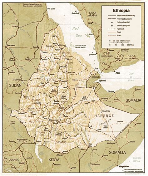
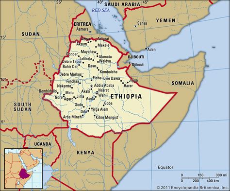
Top Ethiopia HD Maps, Free Download 🗺️
Map
Maps
United States
United States
World Map
China
China

