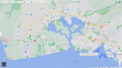
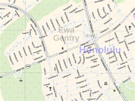
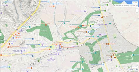
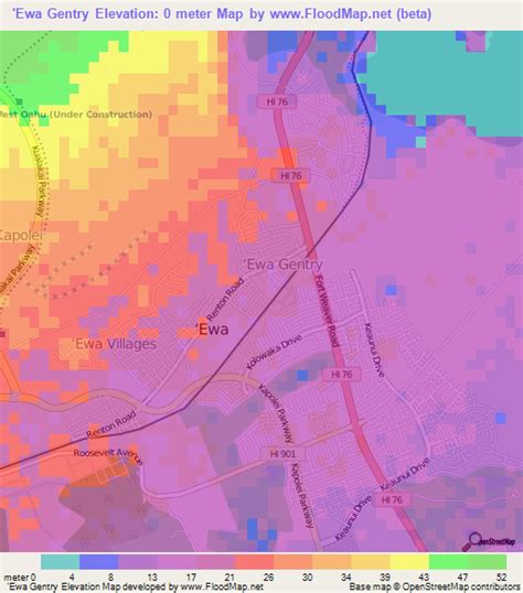
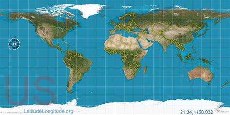
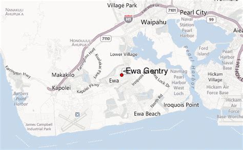
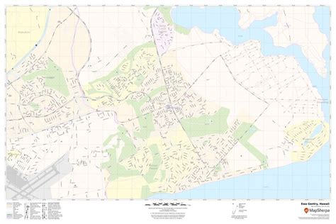
ʻEwa Gentry is a housing development and, as Ewa Gentry, a census-designated place (CDP) located in the ʻEwa District and the City & County of Honolulu on the leeward side of Oʻahu in Hawaiʻi about twelve miles (19 km) from Honolulu. As of the 2010 Census, the CDP had a total population of 22,690.
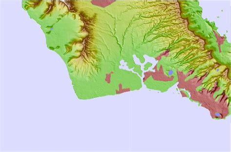
This area is also known as just ʻEwa (in Hawaiian, ʻewa means “crooked”). In the late 19th century to early 20th century, ʻEwa was one of the large population centers on the Island of Oʻahu, with industry focused around sugar cane production. The ʻEwa Mill, in ʻEwa was a major employer that set up residential villages. Sugar cane is no longer grown on the ʻEwa Plain and ʻEwa Gentry is now part of Oʻahu’s new suburban growth center—an area of substantial sprawl spreading unbroken to the south to ʻEwa Gentry, north to Honouliuli, and west to Kalaeloa and Kapolei. This area is now referred to as Oʻahu’s Second City, with a city center (downtown) located in Kapolei.