Location: Faisalabad 🌎
Location: Faisalabad, Pakistan
Administration Region: Punjab
Population: 3203846
ISO2 Code: Punjab
ISO3 Code: PAK
Location Type: Lower-level Admin Capital
Latitude: 31.4167
Longitude: 73.0911
Faisalabad ( ; Punjabi/Urdu: فیصل آباد, Punjabi pronunciation: [fɛːsə̆ləˌbäːd]; Urdu pronunciation: [fɛːsˈlɑˌbɑːd]), previously known as Lyallpur (Punjabi, Urdu: لائل پور), named after the founder of the city, but was renamed in 1977 in honour of late King Faisal of Saudi Arabia. It is the 3rd largest city city of Pakistan after Karachi and Lahore respectively, and the 2nd largest city of Punjab after Lahore. Faisalabad is one of Pakistan’s wealthiest cities, the largest industrial hub and second largest city of wider Punjab region.
Historically one of the largest villages of Punjab, Lyallpur was one of the first planned cities within British India, it has long since developed into a cosmopolitan metropolis. Faisalabad was restructured into city district status; a devolution promulgated by the 2001 local government ordinance (LGO). The total area of Faisalabad District is 5,856 km2 (2,261 sq mi) while the area controlled by the Faisalabad Development Authority (FDA) is 1,326 km2 (512 sq mi).: 8 Faisalabad has grown to become a major industrial and distribution centre because of its central location in the region and connecting roads, rails, and air transportation. It has been referred to as the Manchester of Pakistan”.
As of 2013, GDP (PPP) of Faisalabad was estimated as $43 billion and projected to rise to $87 billion in 2025 at a growth rate of 5.7%.
Faisalabad contributes over 10 percent to the Punjab’s GDP and has an average annual GDP (nominal) of $20.5 billion. Agriculture and industry remain its hallmark.: 41

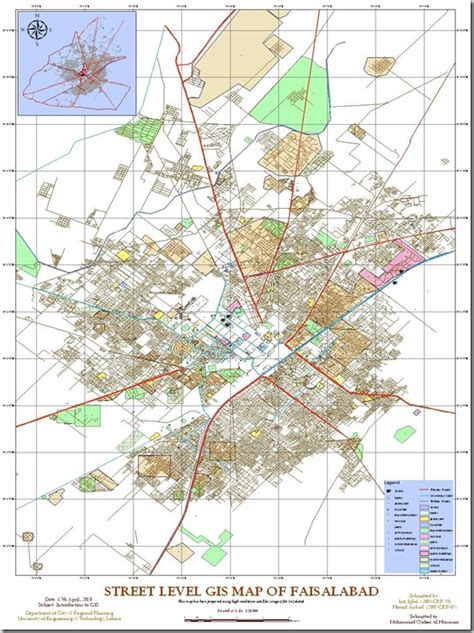
Top Faisalabad HD Maps, Free Download 🗺️
Map
Maps
United States
United States
World Map
China
China