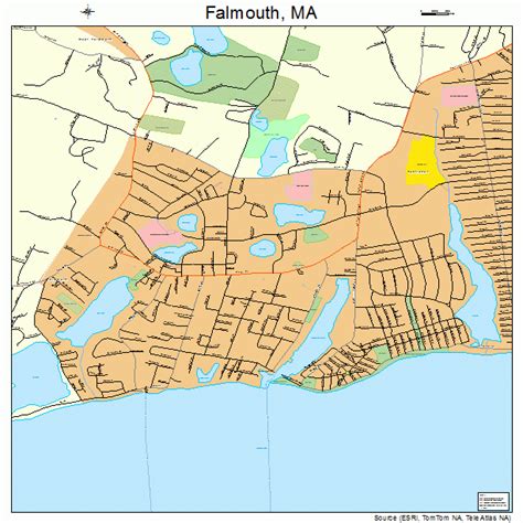
Location: Falmouth 🌎
Location: Falmouth, United States
Administration Region: Massachusetts
Population: 32526
ISO2 Code: Massachusetts
ISO3 Code: USA
Location Type:
Latitude: 41.5514
Longitude: -70.6153
Falmouth ( FAL-məth) is a town in Barnstable County, Massachusetts, United States. The population was 32,517 at the 2020 census, making Falmouth the second-largest municipality on Cape Cod after Barnstable. The terminal for the Steamship Authority ferries to Martha’s Vineyard is located in the village of Woods Hole in Falmouth. Woods Hole also contains several scientific organizations such as the Woods Hole Oceanographic Institution (WHOI), the Marine Biological Laboratory (MBL), the Woodwell Climate Research Center, NOAA’s Woods Hole Science Aquarium, and the scientific institutions’ various museums.
For geographic and demographic information on specific parts of the town of Falmouth, please see the articles on East Falmouth, Falmouth Village, North Falmouth, Teaticket, West Falmouth, and Woods Hole. Falmouth also encompasses the villages of Hatchville and Waquoit, which are not census-designated places and fall within the village of East Falmouth based on postal service.
Top Falmouth HD Maps, Free Download 🗺️
Map
Maps
United States
United States
World Map
China
China

