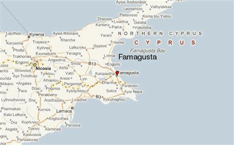
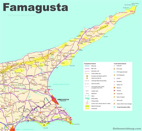
Location: Famagusta 🌎
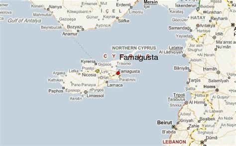
Location: Famagusta, Cyprus
Administration Region: Ammóchostos
Population: 40920
ISO2 Code: Ammóchostos
ISO3 Code: CYP
Location Type: First-level Admin Capital
Latitude: 35.125
Longitude: 33.9417
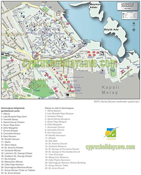
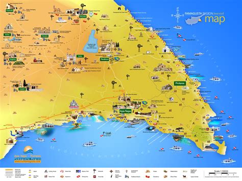
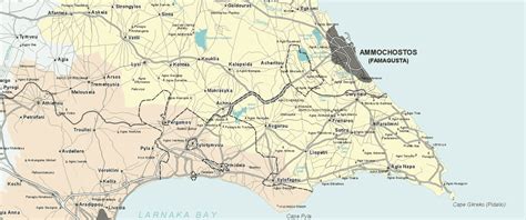
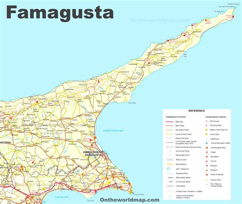
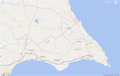
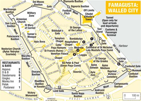
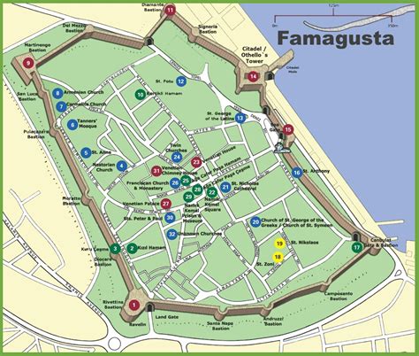
Famagusta (UK: FA(H)M-ə-GUUST-ə, US: FAH-mə-GOO-stə; Greek: Αμμόχωστος, romanized: Ammóchostos, IPA: [aˈmːoxostos]; Turkish: Mağusa [maˈusa] or Gazimağusa [ɡaːzimaˈusa]) is a city on the east coast of Cyprus. It is located east of Nicosia and possesses the deepest harbour of the island. During the Middle Ages (especially under the maritime republics of Genoa and Venice), Famagusta was the island’s most important port city and a gateway to trade with the ports of the Levant, from where the Silk Road merchants carried their goods to Western Europe. The old walled city and parts of the modern city are a de jure territory of Republic of Cyprus, currently under the de facto control of Northern Cyprus as the capital of the Gazimağusa District.

Top Famagusta HD Maps, Free Download 🗺️
Map
Maps
United States
United States
World Map
China
China
