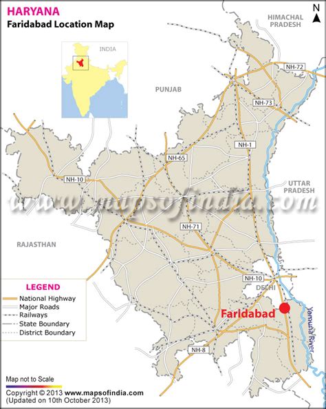
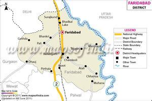
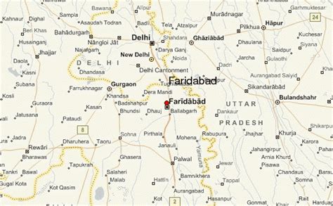
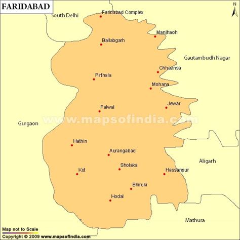
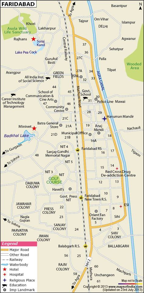
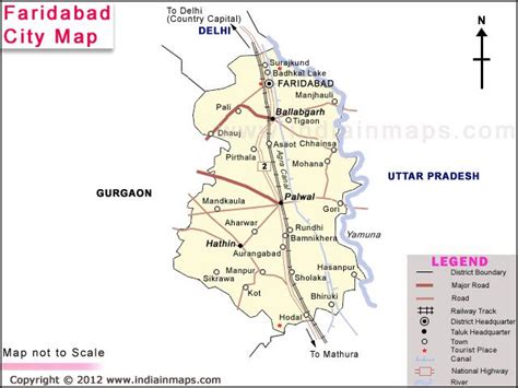
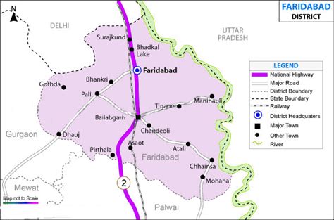
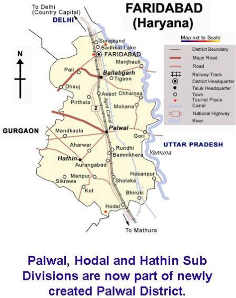
Faridabad is the most populous city in the Indian state of Haryana and a part of Delhi National Capital Region. It is one of the major satellite cities around Delhi and is located 284 kilometres south of the state capital Chandigarh. The river Yamuna forms the eastern district boundary with Uttar Pradesh. The Government of India included it in the second list of Smart Cities Mission on 24 May 2016. Faridabad has been described as the eighth fastest growing city in the world and the third in India by the City Mayors Foundation survey. As per the 2001 Delhi Regional Plan, Faridabad is part of the Delhi Metropolitan Area (DMA).The newly developed residential and industrial part of Faridabad (Sec. 66 to 89) between the Agra Canal and the Yamuna River is commonly referred to as Greater Faridabad. The area is being developed as a self-sustained sub-city with wide roads, tall buildings, malls, educational institutions, and health and commercial centers. Sectors 66 to 74 are Industrial Sectors, while Sectors 75 to 89 are Residential Sectors.Faridabad is a major industrial hub of Haryana. 50% of the income tax collected in Haryana is from Faridabad and Gurgaon. Faridabad is famous for henna production from the agricultural sector, while tractors, motorcycles, switch gears, refrigerators, shoes, tyres and garments constitute its primary industrial products.
In 2018, Faridabad was considered by the World Health Organization as the world’s second most polluted city. In 2020, Faridabad ranked 10th in the Swachh Survekshan Survey’s top ten dirtiest cities in India in 2020.Faridabad has been selected as one of the hundred Indian cities to be developed as a smart city under Government of India’s flagship Smart Cities Mission by Ministry of Urban Development.