Location: Ferdows 🌎
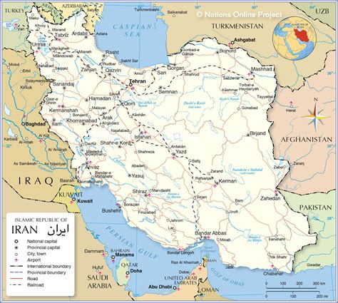
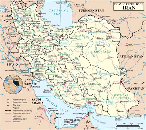
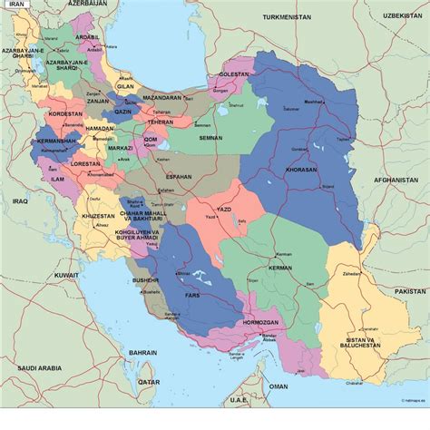
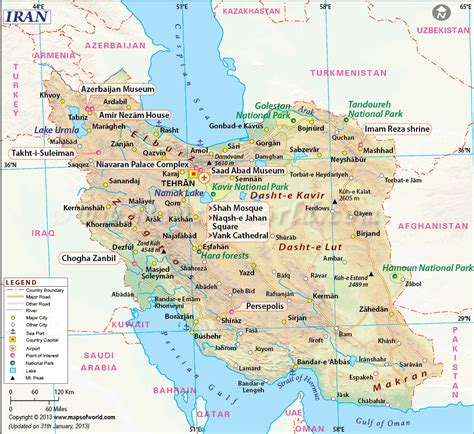
Location: Ferdows, Iran
Administration Region: Khorāsān-e Jonūbī
Population: 28695
ISO2 Code: Khorāsān-e Jonūbī
ISO3 Code: IRN
Location Type: Lower-level Admin Capital
Latitude: 34.0192
Longitude: 58.1731
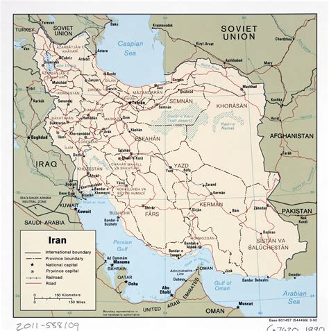
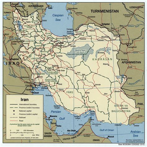
Ferdows (Persian: فردوس, also Romanized as Ferdos, Ferdous, and Firdaus; named Toon or Tūn until 1929) is a city in the Central District in northern Ferdows County, South Khorasan province, Iran, and serves as capital of the county. It is about 345 kilometres (214 mi) south of Mashhad and 200 km northwest of Birjand. Ferdous is located on the main axis connecting Yazd, Kerman, Isfahan, Bushehr, Hormozgan and Fars provinces to Mashhad. Ferdows city is 1293 meters above sea level.At the 2006 census, its population was 23,405 in 6,538 households. The following census in 2011 counted 25,968 people in 7,316 households. The latest census in 2016 showed a population of 28,695 people in 8,749 households.After the Khorasan province was divided into 3 provinces, Ferdows County was initially a part of Razavi Khorasan province, but was incorporated within the borders of South Khorasan Province in March 2007.
Top Ferdows HD Maps, Free Download 🗺️
Map
Maps
United States
United States
World Map
China
China
