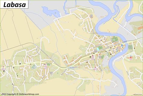
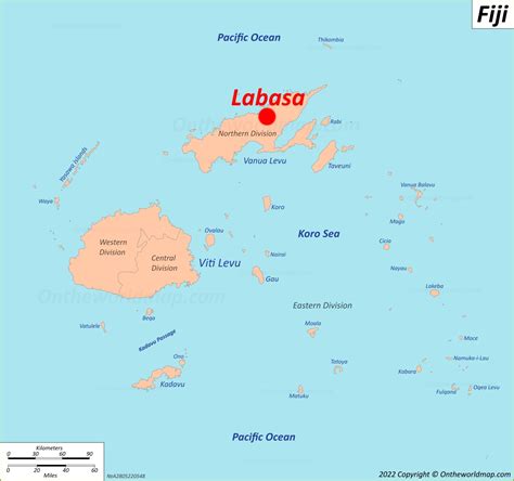
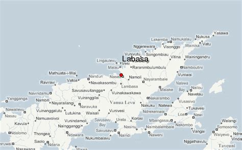
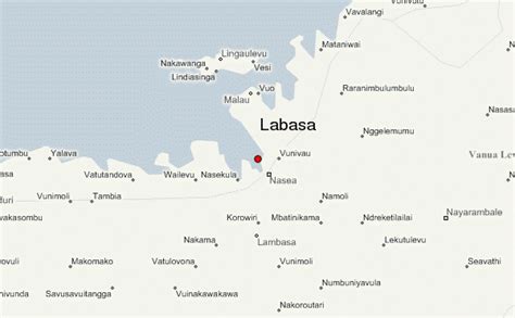
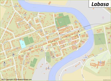
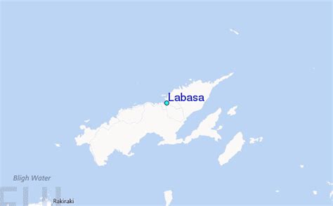
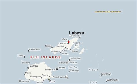
Fiji ( FEE-jee, fee-JEE; Fijian: Viti, [ˈβitʃi]; Fiji Hindi: फ़िजी, Fijī), officially the Republic of Fiji, is an island country in Melanesia, part of Oceania in the South Pacific Ocean. It lies about 1,100 nautical miles (2,000 km; 1,300 mi) north-northeast of New Zealand. Fiji consists of an archipelago of more than 330 islands—of which about 110 are permanently inhabited—and more than 500 islets, amounting to a total land area of about 18,300 square kilometres (7,100 sq mi). The most outlying island group is Ono-i-Lau. About 87% of the total population of 924,610 live on the two major islands, Viti Levu and Vanua Levu. About three-quarters of Fijians live on Viti Levu’s coasts: either in the capital city of Suva; or in smaller urban centres such as Nadi—where tourism is the major local industry; or in Lautoka, where the sugar-cane industry is dominant. The interior of Viti Levu is sparsely inhabited because of its terrain.The majority of Fiji’s islands were formed by volcanic activity starting around 150 million years ago. Some geothermal activity still occurs today on the islands of Vanua Levu and Taveuni. The geothermal systems on Viti Levu are non-volcanic in origin and have low-temperature surface discharges (of between roughly 35 and 60 degrees Celsius (95 and 140 °F)).
Humans have lived in Fiji since the second millennium BCE—first Austronesians and later Melanesians, with some Polynesian influences. Europeans first visited Fiji in the 17th century. In 1874, after a brief period in which Fiji was an independent kingdom, the British established the Colony of Fiji. Fiji operated as a Crown colony until 1970, when it gained independence and became known as the Dominion of Fiji. In 1987, following a series of coups d’état, the military government that had taken power declared it a republic. In a 2006 coup, Commodore Frank Bainimarama seized power. In 2009, the Fijian High Court ruled that the military leadership was unlawful. At that point, President Ratu Josefa Iloilo, whom the military had retained as the nominal head of state, formally abrogated the 1997 Constitution and re-appointed Bainimarama as interim prime minister. Later in 2009, Ratu Epeli Nailatikau succeeded Iloilo as president. On 17 September 2014, after years of delays, a democratic election took place. Bainimarama’s FijiFirst party won 59.2% of the vote, and international observers deemed the election credible.Fiji has one of the most developed economies in the Pacific through its abundant forest, mineral, and fish resources. The currency is the Fijian dollar, with the main sources of foreign exchange being the tourist industry, remittances from Fijians working abroad, bottled water exports, and sugar cane. The Ministry of Local Government and Urban Development supervises Fiji’s local government, which takes the form of city and town councils.