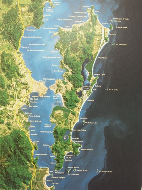
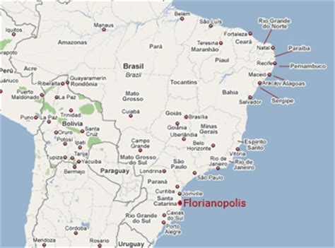
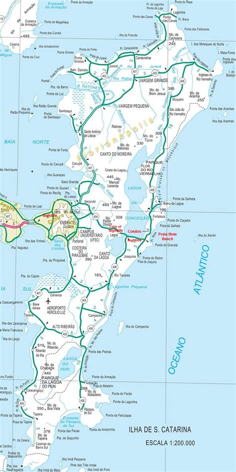
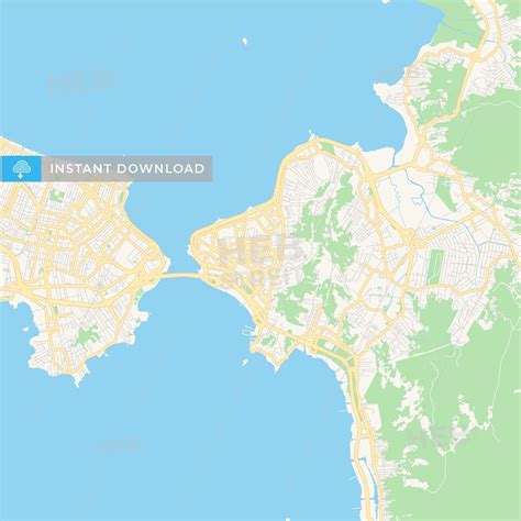
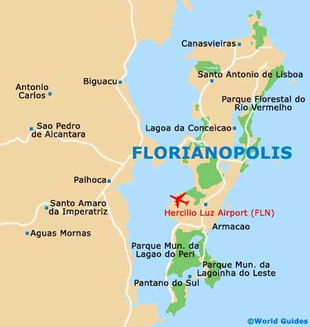
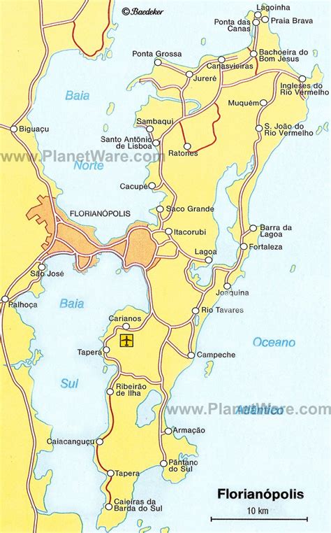
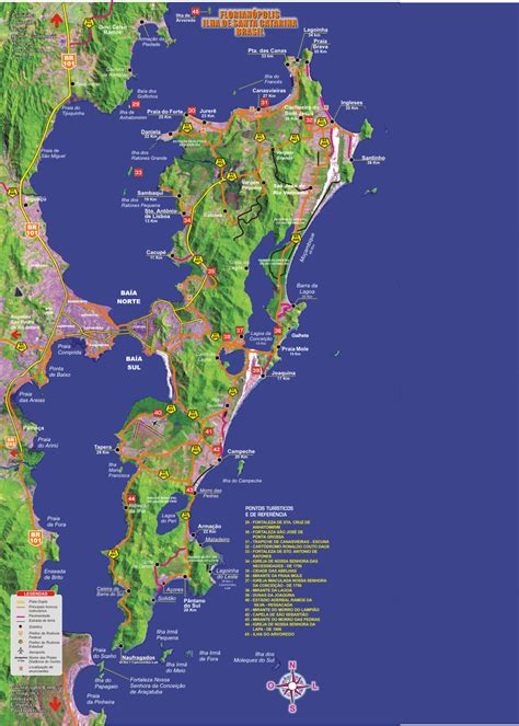
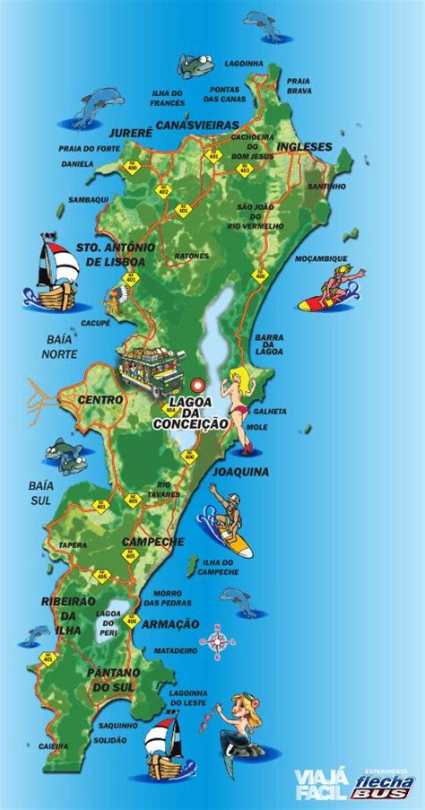
Florianópolis (Portuguese pronunciation: [floɾi.aˈnɔpolis]) is the capital and second largest city of the state of Santa Catarina, in the South region of Brazil. The city encompasses Santa Catarina Island and surrounding small islands, as well as part of the mainland. It has a population of 508,826, according to the 2020 IBGE (Brazilian Institute of Geography and Statistics) population estimate, the second-most populous city in the state (after Joinville), and the 47th in Brazil. The metropolitan area has an estimated population of 1,111,702, the 21st largest in the country. The city is known for having the country’s third highest Human Development Index score among all Brazilian cities (0.847).The economy of Florianópolis is heavily based on information technology, tourism, and services. The city has 60 beaches and is a center of surfing activity. Lagoa da Conceição is the most famous area for tourism, recreation, nature, and extreme sports. The New York Times reported that “Florianopolis is the Party Destination of the Year in 2009.” Newsweek placed Florianópolis in its “ten most dynamic cities of the world” list in 2006. Veja, a Brazilian publication, named the city as “the best place to live in Brazil.” As a result of this exposure, Florianópolis is growing as a second home destination for many Paulistas, Argentines, Uruguayans, U.S. citizens, and Europeans.
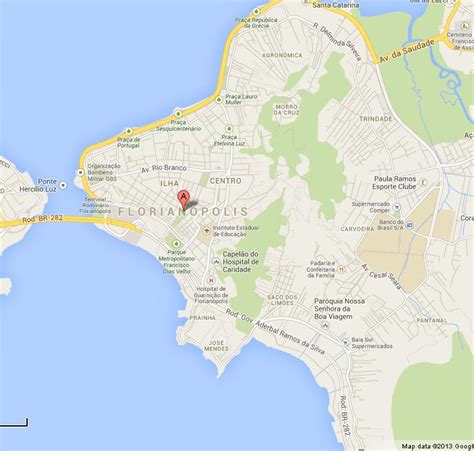
Florianópolis is also commonly known by the nicknames Floripa and Ilha da Magia (Magic Island). Most of the population lives on the mainland and on the island’s central and northern parts. The southern half is less inhabited. Many small commercial fishermen populate the island. The fishing boats, the lacemakers, the folklore, the cuisine and the colonial architecture contribute to the growing tourism and attracts resources that compensate for the lack of any large industry. Villages immersed in tradition and history, such as Santo Antônio de Lisboa and Ribeirão da Ilha still resist the advances of modernity.The Hercílio Luz International Airport serves the city. Florianópolis is home to the Universidade Federal de Santa Catarina (Federal University of Santa Catarina). There are also the Santa Catarina Federal Institute of Education, Science and Technology (Instituto Federal de Santa Catarina), and two campuses of the Universidade do Estado de Santa Catarina (State University of Santa Catarina), among other institutions of higher and professional education.