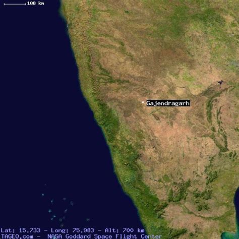
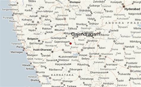
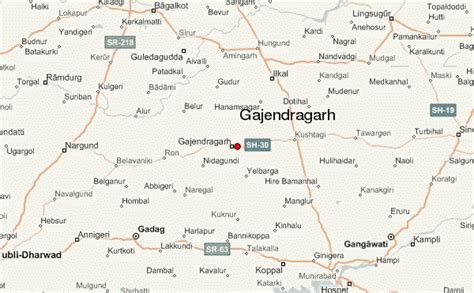
Location: Gajendragarh 🌎
Location: Gajendragarh, India
Administration Region: Karnātaka
Population: 37258
ISO2 Code: Karnātaka
ISO3 Code: IND
Location Type:
Latitude: 15.73
Longitude: 75.98
Gajendragad (also called Gajendragada) is a Town Municipal Council city in Gadag District, Karnataka, India with Population of 32,359 as of 2011 Census data and is located at 15.73°N 75.98°E / 15.73; 75.98. It has an average elevation of 643 metres (2109 feet). This place is known for its hill station,hill strip, film shooting spots, Fort, kalakaleshwara temple, Market for Javali / Dress Materials for marriage & festivals, windmills, Handloom. It is about 55 kilometers from the district head quarter Gadag, 110 kilometers from Hubballi, 200 kilometers from Belagavi and 450 kilometers from state capital Bengaluru

Top Gajendragarh HD Maps, Free Download 🗺️
Map
Maps
United States
United States
World Map
China
China

