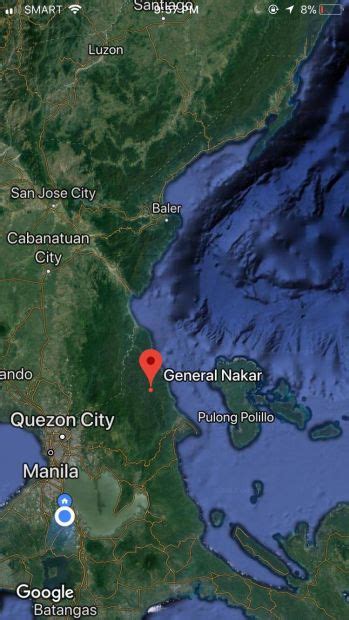
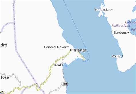
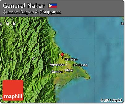
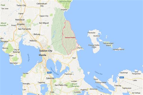
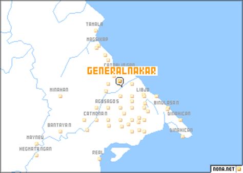
Location: General Nakar 🌎
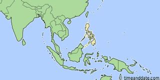
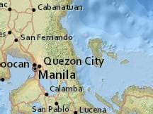
Location: General Nakar, Philippines
Administration Region: Quezon
Population: 34225
ISO2 Code: Quezon
ISO3 Code: PHL
Location Type:
Latitude: 14.7631
Longitude: 121.635
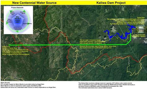
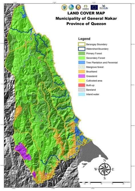
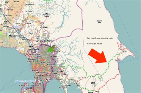
General Nakar, officially the Municipality of General Nakar (Tagalog: Bayan ng Heneral Nakar, Ilocano: Ili ti Heneral Nakar), is a 1st class municipality in the province of Quezon, Philippines. According to the 2020 census, it has a population of 34,225 people. It is the largest municipality in the province of Quezon in terms of land area, occupying 1,343.75 square kilometres (518.82 sq mi). It is accessible by land from Metro Manila, passing through Marcos Highway (Marikina-Infanta Highway).
It was named after Major General Guillermo Peñamante Nakar (1905–1942), the martyred leader of the 1st Battalion of the 71st Infantry Division of the USAFFE against the attacking Japanese Forces and a native of barangay Anoling.
Top General Nakar HD Maps, Free Download 🗺️
Map
Maps
United States
United States
World Map
China
China
