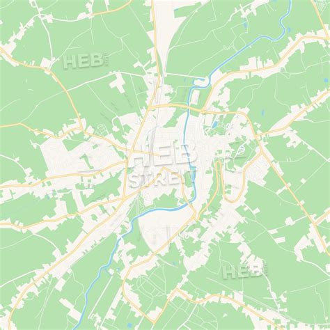
Location: Geraardsbergen 🌎
Location: Geraardsbergen, Belgium
Administration Region: Flanders
Population: 33403
ISO2 Code: Flanders
ISO3 Code: BEL
Location Type:
Latitude: 50.7667
Longitude: 3.8667
Geraardsbergen (Dutch pronunciation: [ˈɣeːraːrdzbɛrɣə(n)] ; French: Grammont, French pronunciation: [ɡʁamɔ̃]) is a city and municipality located in the Denderstreek and in the Flemish Ardennes, the hilly southern part of the Belgian province of East Flanders. The municipality comprises the city of Geraardsbergen proper and the following towns:
Goeferdinge, Grimminge, Idegem, Moerbeke, Nederboelare, Nieuwenhove, Onkerzele, Ophasselt, Overboelare, Schendelbeke, Smeerebbe-Vloerzegem, Viane, Waarbeke, Zandbergen and Zarlardinge.In 2021, Geraardsbergen had a total population of 33,970. The total area is 79.71 km².The current mayor of Geraardsbergen is Guido De Padt, from the (liberal) party Open VLD.
Top Geraardsbergen HD Maps, Free Download 🗺️
Map
Maps
United States
United States
World Map
China
China
