Location: Gérakas 🌎
Location: Gérakas, Greece
Administration Region: Attikí
Population: 29939
ISO2 Code: Attikí
ISO3 Code: GRC
Location Type: Lower-level Admin Capital
Latitude: 38.0333
Longitude: 23.85
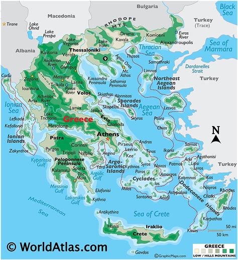
Gerakas (Greek: Γέρακας) is a town, a suburb of Athens urban area and a former municipality in East Attica, Greece. Since the 2011 local government reform it is part of the municipality Pallini, of which it is the seat and a municipal unit.In antiquity Gerakas constituted the Athenian mesogeia deme of Gargittos, of the Aegides tribe, according to the administrative model of Cleisthenes.
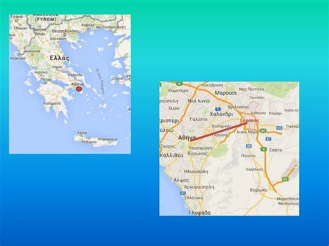
Today, it is a rapidly developing city of the northern mesogea and the eastern gate to the Athens basin. It is known as the birthplace of the famous philosopher Epicurus.The city is set at a significant place at the junction of Ymittos and Penteli foothills. The limits of Gerakas expand from Stavros up to the Koufos and Desi Hills, 12 km northeast of the centre of Athens and just 2 km west of Pallini. The city has a population of 29,939 residents (in 2011), covering a land area of 6.633 km2 and having a population density of 4,514 residents per km2. Gerakas can be seen at an elevation of 190 to 374 metres, giving the area both flat and mountainous characteristics.
Top Gérakas HD Maps, Free Download 🗺️
Map
Maps
United States
United States
World Map
China
China
