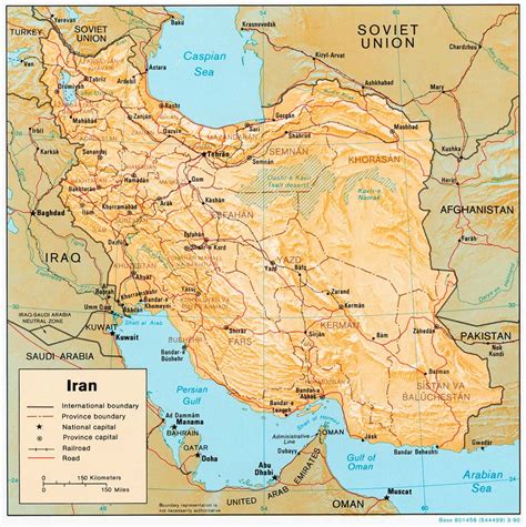
Location: Germī 🌎
Location: Germī, Iran Administration Region: Ardabīl Population: 28967 ISO2 Code: Ardabīl ISO3 Code: IRN Location Type: Lower-level Admin Capital Latitude: 39.0297 Longitude: 48.0803
Germi (Persian: گرمی, also Romanized as Germī and Germī; also known as Germi Ojarood) is a city in the Central District of Germi County, Ardabil province, Iran, and serves as the capital of the county. At the 2006 census, its population was 28,348 in 6,382 households. The following census in 2011 counted 28,953 people in 7,491 households. The latest census in 2016 showed a population of 28,967 people in 8,375 households.Germi is one of the old cities of Ardabil province and a part of the Mughan plain. The city is built on the source of the Germi Chai or Ojarud River, so that three rivers join in the middle of the city to form the Ojarud or Germi Chai.
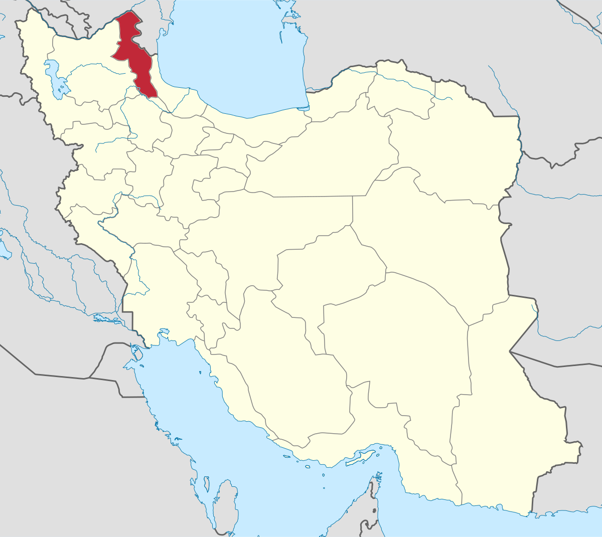
Top Germī HD Maps, Free Download 🗺️
Map
Maps
United States
United States
World Map
China
China