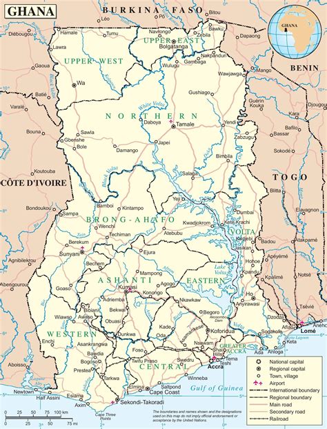
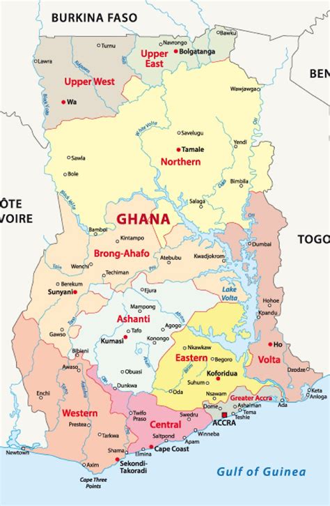
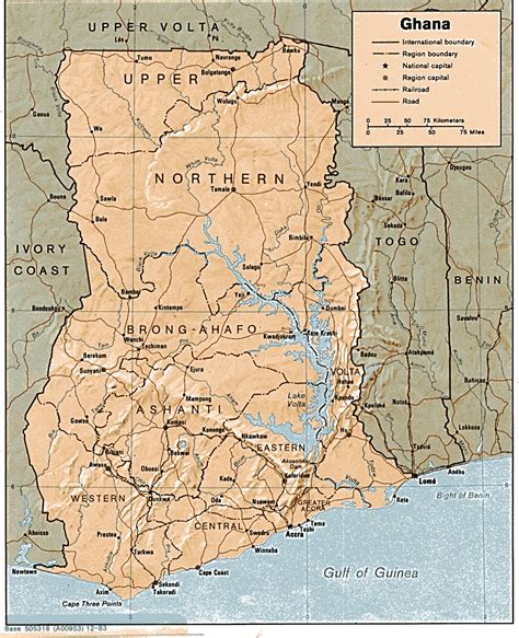
Ghana ( ), officially the Republic of Ghana, is a country in West Africa. It abuts the Gulf of Guinea and the Atlantic Ocean to the south, sharing borders with Ivory Coast in the west, Burkina Faso in the north, and Togo in the east. It covers an area of 238,535 km2 (92,099 sq mi), spanning biomes that range from coastal savannas to tropical rainforests. With over 32 million inhabitants, Ghana is the second-most populous country in West Africa, after Nigeria.The Bono state existed in the area that is modern day Ghana during the 11th century. Kingdoms and empires such as Kingdom of Dagbon in the north and the Ashanti Empire in the south emerged over the centuries. Beginning in the 15th century, the Portuguese Empire, followed by other European powers, contested the area for trading rights, until the British ultimately established control of the coast by the 19th century. Following over a century of colonial resistance, the current borders of the country took shape, encompassing 4 separate British colonial territories: Gold Coast, Ashanti, the Northern Territories, and British Togoland. These were unified as an independent dominion within the Commonwealth of Nations. On 6th March 1957, Ghana became the first country in Sub-Saharan Africa to achieve sovereignty. Ghana subsequently became influential in decolonisation efforts and the Pan-African movement.Ghana is a multi-ethnic country with linguistic and religious groups; while the Akan are the largest ethnic group, they constitute a plurality. Most Ghanaians are Christians (71.3%); almost a fifth are Muslims; a tenth practise traditional faiths or report no religion. Ghana is a unitary constitutional democracy led by a president who is head of state and head of government. For political stability in Africa, Ghana ranked 7th in the 2012 Ibrahim Index of African Governance and 5th in the 2012 Fragile States Index. Its performance in healthcare, economic growth, and human development is high by regional standards, giving the country influence in West Africa and Africa as a whole. It is a founding member of the Non-Aligned Movement, African Union and a member of the Economic Community of West African States, Group of 24 and Commonwealth of Nations.