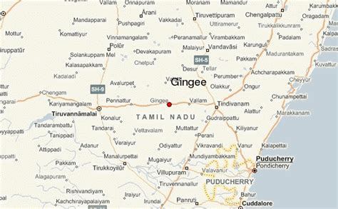
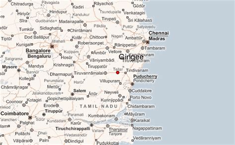
Gingee Fort or Senji Fort (also known as Chenji, Chanchi, Jinji or Senchi) in Tamil Nadu, India is one of the surviving forts in Tamil Nadu, India. It lies in Villupuram District, 160 kilometres (99 mi) from the state capital, Chennai, and is close to the Union Territory of Puducherry. The site is so fortified that Shivaji, the Maratha king, ranked it as the “most impregnable fortress in India”, and it was called the “Troy of the East” by the British. The nearest town with a railway station is Tindivanam and the nearest airport is Chennai (Madras), located 150 kilometres (93 mi) away.
Originally built by Ananta Kon around 1190 AD and later fortified by Krishna Kon, it was later modified in the 13th century to elevate it to the status of an unbreachable citadel to protect the town of Gingee. It was also the headquarters domination in northern Tamil Nadu. The fort was built as a strategic place of fending off any invading armies. As per one account, the fort was further fortified during the 15–16th century. The fort was won for Swarajya by Subedar Harji Rajemahadik for the Marathas under the leadership of Shivaji in 1677 AD. It was then conquered by the Bijapur sultans, the Moghuls, Carnatic Nawabs, French and finally the British in 1761. The fort is closely associated with Raja Tej Singh, who unsuccessfully revolted against the Nawab of Arcot and eventually lost his life in a battle.
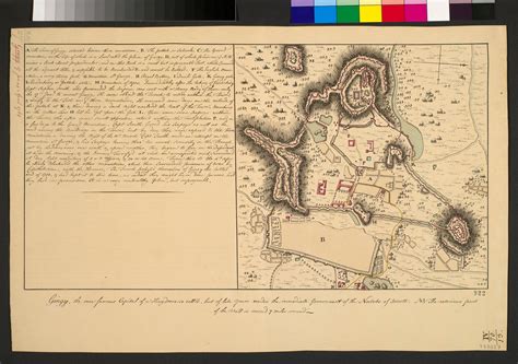
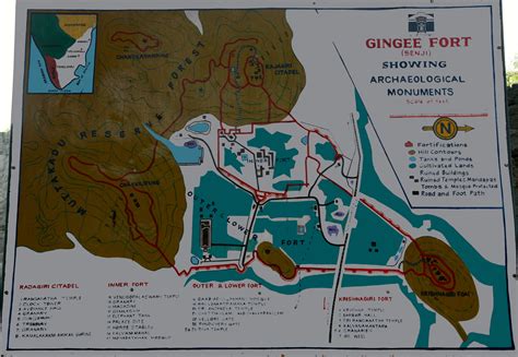
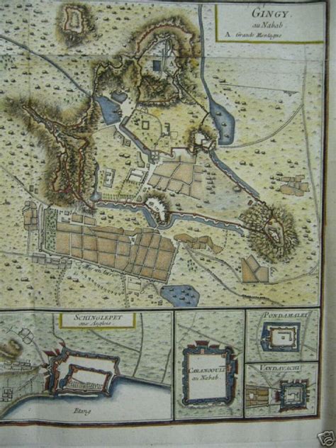
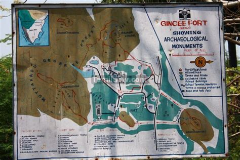
The Gingee Fort complex is on three hillocks: Krishnagiri named after Krishna Kon to the north, Rajagiri or Anandagiri named after Ananda kon to the west and Chakilidurg to the southeast. The three hills together constitute a fort complex, each having a separate and self-contained citadel. The fort walls are 13 km (8.1 mi) and the three hills are connected by walls enclosing an area of 11 square kilometres (4.2 sq mi). It was built at a height of 800 feet (240 m) and protected by an 80 feet (24 m) wide moat. The complex has a seven-storeyed Kalyana Mahal (marriage hall), granaries, prison cells, and a temple dedicated to its presiding goddess called Chenjiamman. The fortifications contain a sacred pond known as Aanaikulam. On the top of the hillock, there are minor fortifications. The fort, in modern times, is maintained and administered by the Archaeological Survey of India. The fort is one of the prominent tourist destinations in Villupuram district.