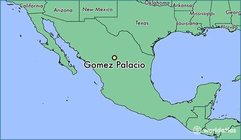
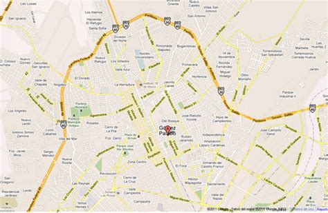
Location: Gómez Palacio 🌎
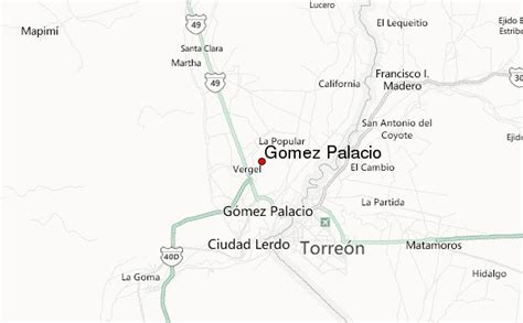
Location: Gómez Palacio, Mexico Administration Region: Durango Population: 342286 ISO2 Code: Durango ISO3 Code: MEX Location Type: Lower-level Admin Capital Latitude: 25.5611 Longitude: -103.4983
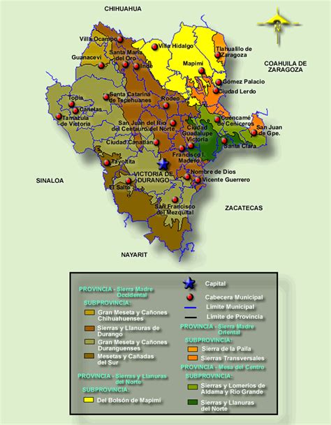
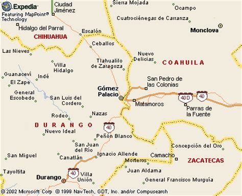
Gómez Palacio is a city and its surrounding municipality in northeastern Durango, Mexico, adjacent to the border of the state of Coahuila. The city is named in honor of former Durango governor, Francisco Gómez Palacio y Bravo. As of 2010, the city of Gómez Palacio had a population of 327,985, up from 304,515 as of 2005, making it the state’s second-largest community. The municipality (including the city) population was 327,985. The municipality’s area is 990.2 square kilometres (382.3 sq mi). The municipality and city are part of a large metropolitan area, which includes Torreón Municipality and Matamoros Municipality in Coahuila, as well as Lerdo Municipality in Durango. The metropolitan area had an official population of 1,215,817 persons in 2010.

Top Gómez Palacio HD Maps, Free Download 🗺️
Map
Maps
United States
United States
World Map
China
China