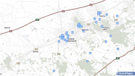
Location: Grodzisk Mazowiecki 🌎
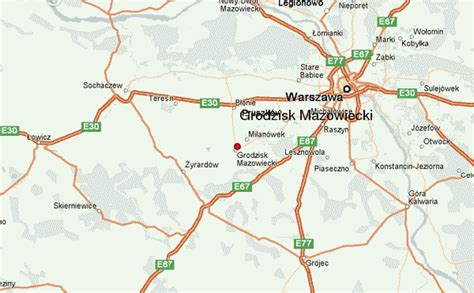
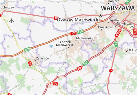
Location: Grodzisk Mazowiecki, Poland
Administration Region: Mazowieckie
Population: 33708
ISO2 Code: Mazowieckie
ISO3 Code: POL
Location Type: Lower-level Admin Capital
Latitude: 52.1167
Longitude: 20.6333
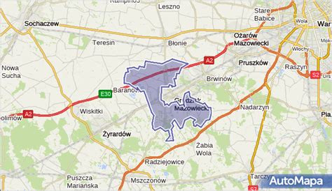
Grodzisk Mazowiecki [ˈɡrɔd͡ʑisk mazɔˈvʲɛt͡skʲi] is a town in central Poland with 29,363 inhabitants (2011). It is 30 km. southwest of Warsaw. Between 1975 and 1998 it was situated in the Warszawa Voivodeship but since 1999 it has been situated in the Masovian Voivodeship. It is the capital of Grodzisk Mazowiecki County.
Top Grodzisk Mazowiecki HD Maps, Free Download 🗺️
Map
Maps
United States
United States
World Map
China
China


