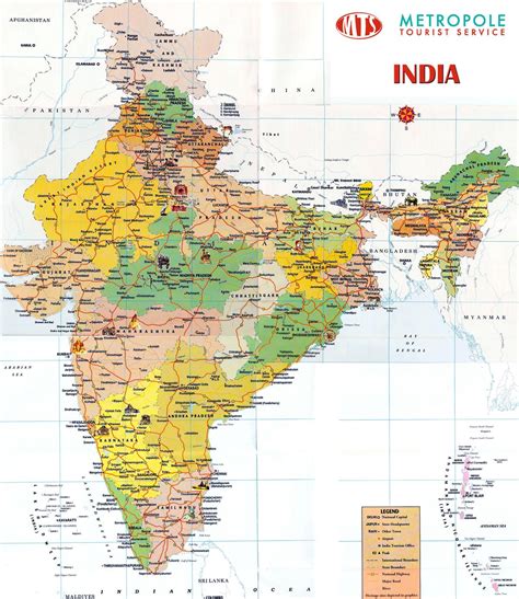
Location: Guruvāyūr 🌎
Location: Guruvāyūr, India
Administration Region: Kerala
Population: 38138
ISO2 Code: Kerala
ISO3 Code: IND
Location Type:
Latitude: 10.5947
Longitude: 76.0403
Guruvayur (Malayalam: ഗുരുവായൂർ, IPA: [guɾuʋɐːjuːr]) is a municipal temple town in Thrissur District, of Kerala State in India. It is a suburban town of Thrissur city, located 27 kilometres (17 mi) from Thrissur towards the north-west. It houses the Guruvayur Shri Krishna Temple. It is located at a distance of 292 km (181 mi) from the state capital Trivandrum towards the north-west, 80 km (50 mi) from Kochi towards the north, 90 km (56 mi) from Calicut towards south.
Top Guruvāyūr HD Maps, Free Download 🗺️
Map
Maps
United States
United States
World Map
China
China
