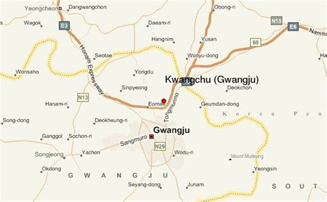
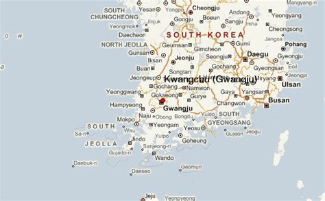
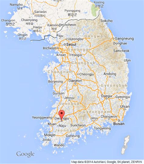
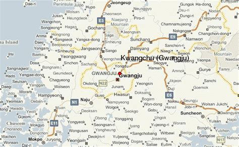
Gwangju (Korean: [kwaŋ.dzu] ) is South Korea’s sixth-largest metropolis. It is a designated metropolitan city under the direct control of the central government’s Home Minister. The city was also the capital of South Jeolla Province until the provincial office moved to the southern village of Namak in Muan County in 2005 because Gwangju was promoted to a metropolitan city and was independent of South Jeolla province.
Its name is composed of the words Gwang (Korean: 광; Hanja: 光) meaning “light” and Ju (주; 州) meaning “province”. Gwangju was historically recorded as Muju (무주; 武州), in which “Silla merged all of the land to establish the provinces of Gwangju, Ungju, Jeonju, Muju and various counties, plus the southern boundary of Goguryeo and the ancient territories of Silla” in the Samguk Sagi. In the heart of the agricultural Jeolla region, the city is also famous for its rich and diverse cuisine.
Dialect: Jeolla dialect