Location: Gwoza 🌎
Location: Gwoza, Nigeria
Administration Region: Borno
Population: 388600
ISO2 Code: Borno
ISO3 Code: NGA
Location Type: Lower-level Admin Capital
Latitude:
Longitude:
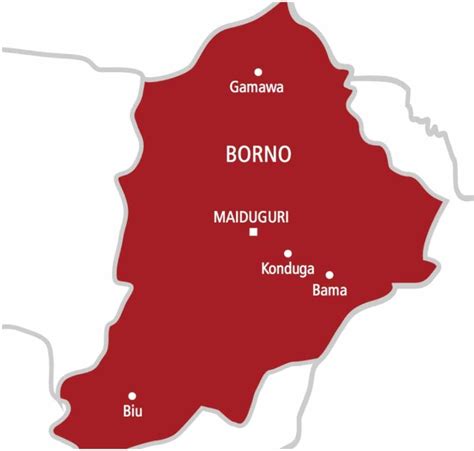
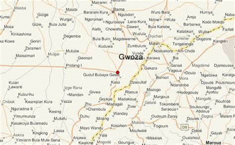
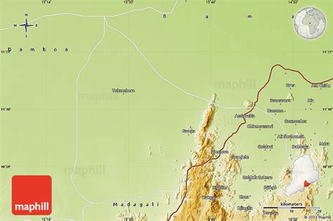
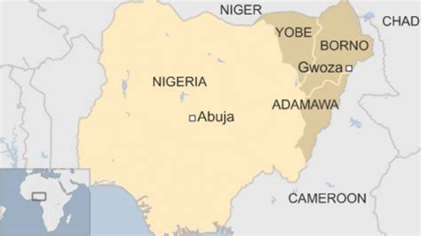
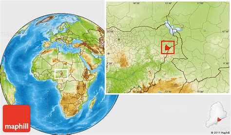
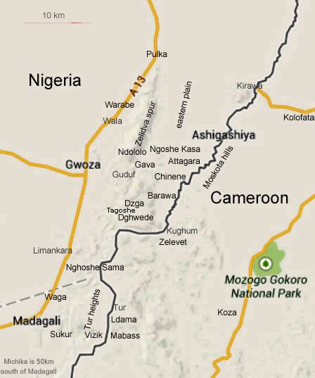
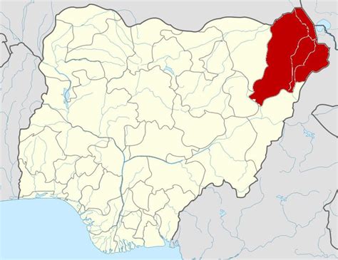
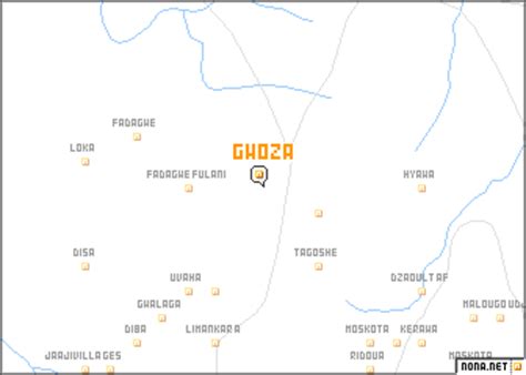
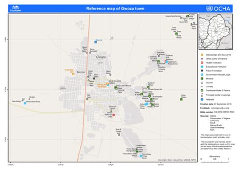
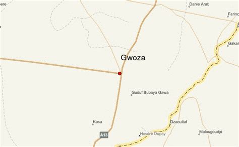
Gwoza is a local government area of Borno State, Nigeria. Its headquarters are in the town of Gwoza, a border town “about 135 kilometres South-East of Maiduguri.” The postal code of the area is 610.The terrain is rocky and hilly. The Gwoza Hills, with heights of about 1300m above sea level provides scenery and is made up of the Mandara Mountains, which form a natural barrier between Nigeria and Cameroon, starting from Pulka. They overlook the game reserves by meandering towards Mubi and beyond in Adamawa State.The Gwoza LGA has been called “a notorious hide out for the Boko Haram insurgents,” who arrived in the area in 2009 from Maiduguri. The area has suffered considerable violence as a result of the Islamist insurgency in Nigeria, and in 2014, saw an influx of Boko Haram fighters fleeing Sambisa Forest.As of 23 June 2014, “reports indicated that the whole of Gwoza was under attack. The report could not be substantiated because most telephone masts in Gwoza and surrounding villages have been vandalized by insurgents.” Deutsche Welle reported that “Roads out of the region are extremely dangerous and phone connections are poor to nonexistent.”As of 19 October 2014, an estimated 3,000 Gwoza residents displaced by fighting are “squatting on the fringes of Abuja”, according to a local relief committee spokesman, with “the need for shelter, food, clothing and medicare for the displaced also becoming dire.”On 27 March 2015, the day before the Nigerian presidential election, the Nigerian Army announced that it had recaptured the town of Gwoza from Boko Haram. According to AllAfrica.com, “Gwoza, one of the largest towns in Borno, fell under the control of Boko Haram terrorists on August 6, 2014.”
Top Gwoza HD Maps, Free Download 🗺️
Map
Maps
United States
United States
World Map
China
China
