Location: Hailākāndi 🌎
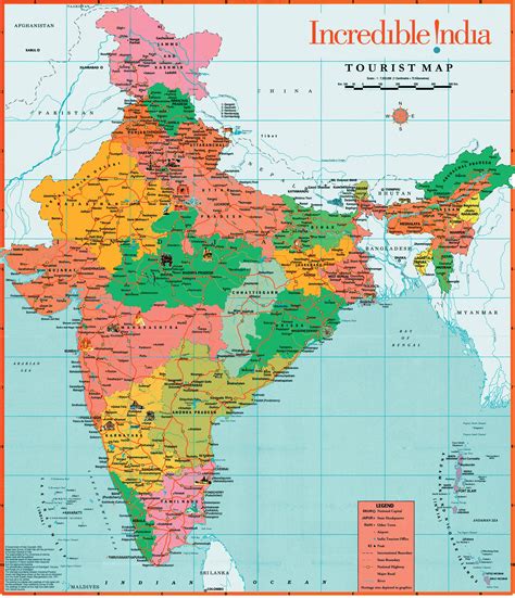
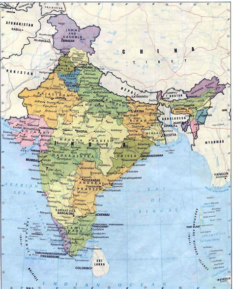
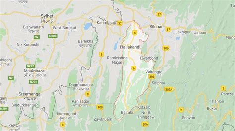
Location: Hailākāndi, India Administration Region: Assam Population: 39255 ISO2 Code: Assam ISO3 Code: IND Location Type: Latitude: 24.6833 Longitude: 92.5667
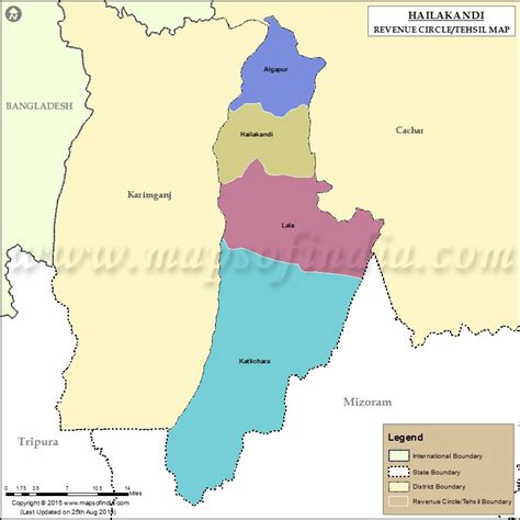
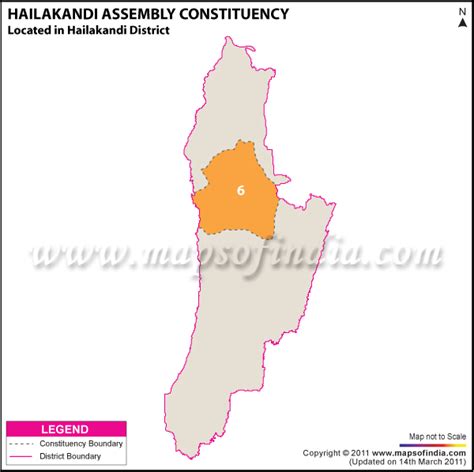
Hailakandi district is one of the 33 districts of Assam state in north-eastern India. It makes up the Barak Valley alongside Cachar and Karimganj. It was constituted as a civil subdivision on 1 June 1869. Subsequently, it was upgraded to a district in 1989, when it was split from Cachar district.

Top Hailākāndi HD Maps, Free Download 🗺️
Map
Maps
United States
United States
World Map
China
China