Location: Hajīn 🌎
Location: Hajīn, Syria
Administration Region: Dayr az Zawr
Population: 37935
ISO2 Code: Dayr az Zawr
ISO3 Code: SYR
Location Type: Lower-level Admin Capital
Latitude:
Longitude:
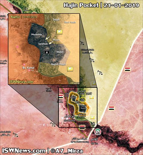
Hajin (Arabic: هَجِين, romanized: Hajīn, also spelled Hajeen) is a small city in eastern Syria, administratively part of the Deir ez-Zor Governorate, located along the Euphrates River, south of Deir ez-Zor. Nearby localities include al-Abbas to the west, al-Ramadi to the south and Gharanij to the north. According to the Syria Central Bureau of Statistics, Hajin had a population of 37,935 in the 2004 census. It is the administrative center of a nahiyah (“subdistrict”) of the Abu Kamal District. The Hajin subdistrict consists of four towns which had a collective population of 97,970 in 2004. The al-Shaitat tribe is the largest tribe in the area. The town was captured by the Syrian Democratic Forces on 14 December 2018 in the Battle of Hajin, after a week and a half of heavy clashes and intense airstrikes by the United States-led Combined Joint Task Force – Operation Inherent Resolve international coalition, and has since been part of the Autonomous Administration of North and East Syria.

Top Hajīn HD Maps, Free Download 🗺️
Map
Maps
United States
United States
World Map
China
China