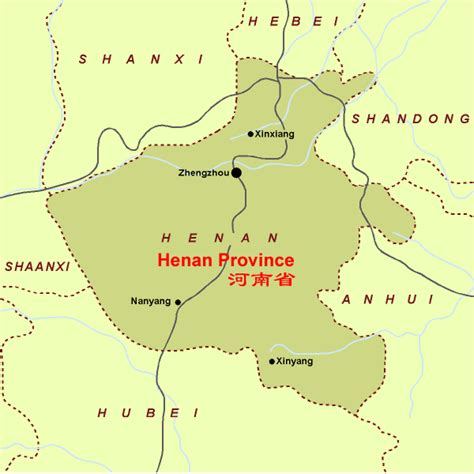
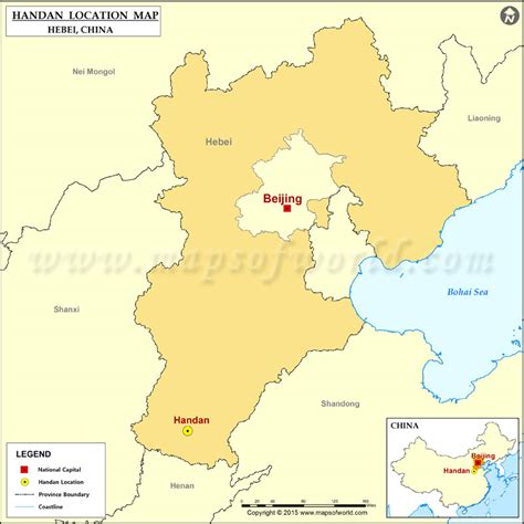
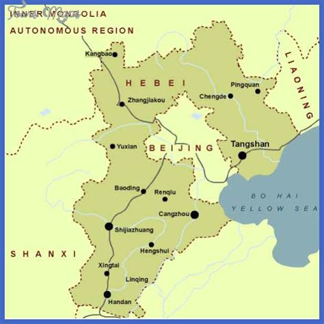
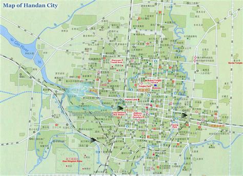
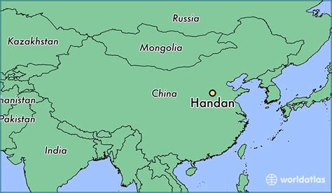
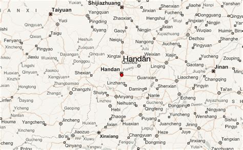
Handan is a prefecture-level city located in the southwest of Hebei province, China. The southernmost prefecture-level city of the province, it borders Xingtai on the north, and the provinces of Shanxi on the west, Henan on the south and Shandong on the east. At the 2010 census, its population was 9,174,683 inhabitants whom 2,845,790 lived in the built-up (or metro) area made of 5 urban districts. Yongnian District in Handan and Shahe City in Xingtai have largely formed into a single conurbation.
Handan is one of the oldest cities in China, first settled in 6500 BC by the Cishan culture. Throughout the city’s long history, it contributed significantly to Chinese culture, serving as the capital of State of Zhao, was northern China’s political, economic and cultural center, and home to Tai chi and the first compass, made from stones collected in the nearby Mount Ci (magnet mountain). Handan is designated as one of China’s National Famous Historical and Cultural Cities.