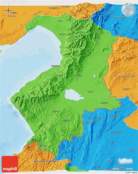
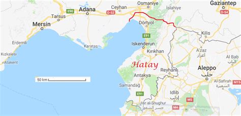
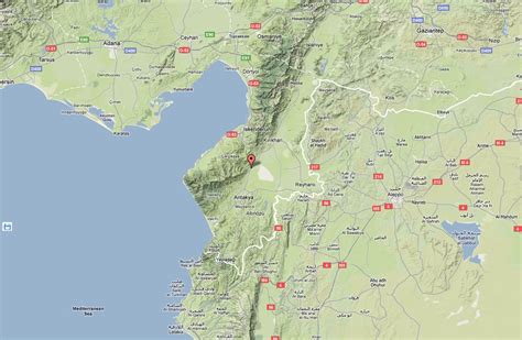
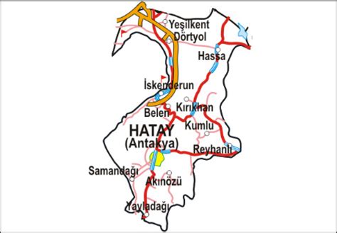
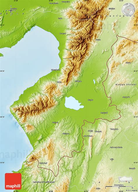
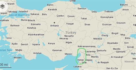
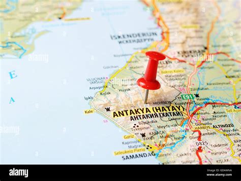
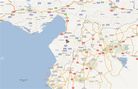
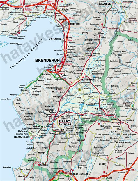
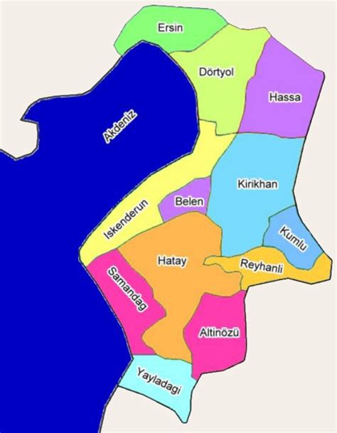
Location: Hatay 🌎
Location: Hatay, Turkey Administration Region: Hatay Population: 377793 ISO2 Code: Hatay ISO3 Code: TUR Location Type: First-level Admin Capital Latitude: 36.4303 Longitude: 36.1742
Hatay State (Turkish: Hatay Devleti; French: État du Hatay; Arabic: دولة خطاي, romanized: Dawlat Ḫaṭāy), also known informally as the Republic of Hatay (Arabic: جمهورية خطاي, romanized: Jumhūriyyat Ḫaṭāy), was a transitional political entity that existed from 7 September 1938 to 29 June 1939, being located in the territory of the Sanjak of Alexandretta of the French Mandate of Syria. The state was transformed de facto into the Hatay Province of Turkey on 7 July 1939, de jure joining the country on 23 July 1939.
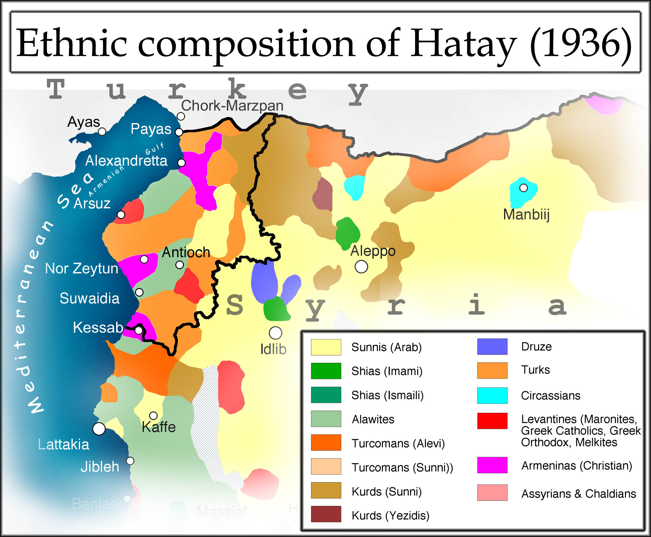
Top Hatay HD Maps, Free Download 🗺️
Map
Maps
United States
United States
World Map
China
China