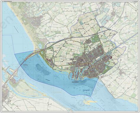
Hellevoetsluis (Dutch pronunciation: [ˌɦɛləvutˈslœys] ) is a small city in the western Netherlands. It is located in Voorne-Putten, South Holland. The former municipality covered an area of 61.20 km2 (23.63 sq mi) of which 20.10 km2 (7.76 sq mi) was water and it included the population centres of Nieuw-Helvoet, Nieuwenhoorn, and Oude en Nieuwe Struiten, all former municipalities.
Hellevoetsluis is located on the Haringvliet with the sea, beach, and dunes close by, on the extreme southern edge of the Rijnmond and Europoort areas, close to the broad Zeeland landscape. The name translates as “lock at the foot of the Helle”. The Helle was a small local river that disappeared over time.
On 1 January 2023, the municipality of Hellevoetsluis merged with Brielle and Westvoorne into the new municipality of Voorne aan Zee.