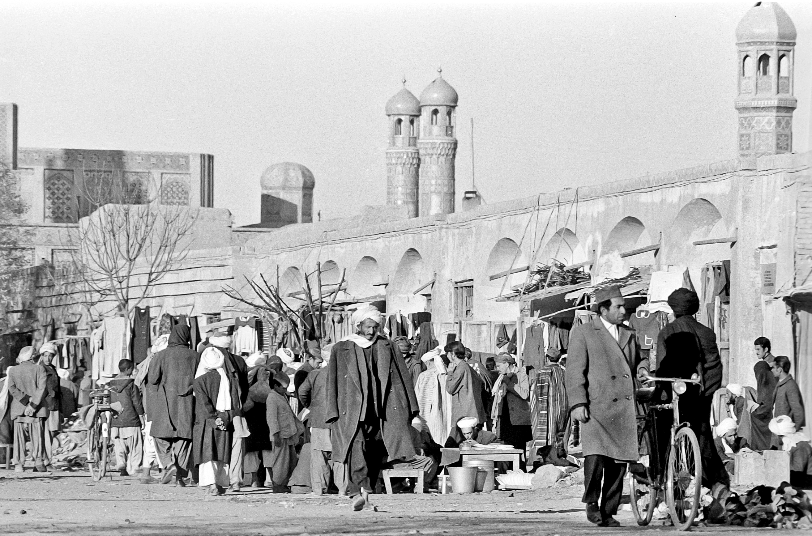
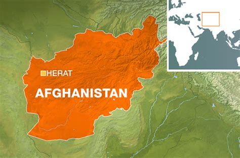
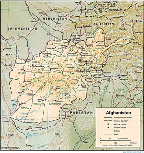
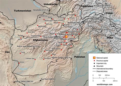
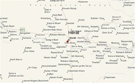
Herāt (; Dari: هرات) is an oasis city and the third-largest city of Afghanistan. In 2020, it had an estimated population of 574,276, and serves as the capital of Herat Province, situated south of the Paropamisus Mountains (Selseleh-ye Safēd Kōh) in the fertile valley of the Hari River in the western part of the country. An ancient civilization on the Silk Road between the Middle East, Central and South Asia, it serves as a regional hub in the country’s west.
Herat dates back to Avestan times and was traditionally known for its wine. The city has a number of historic sites, including the Herat Citadel and the Musalla Complex. During the Middle Ages Herat became one of the important cities of Khorasan, as it was known as the Pearl of Khorasan. After its conquest by Tamerlane, the city became an important center of intellectual and artistic life in the Islamic world. Under the rule of Shah Rukh, the city served as the focal point of the Timurid Renaissance, whose glory is thought to have matched Florence of the Italian Renaissance as the center of a cultural rebirth. After the fall of the Timurid Empire, Herat has been governed by various Afghan rulers since the early 18th century. In 1716, the Abdali Afghans inhabiting the city revolted and formed their own Sultanate, the Sadozai Sultanate of Herat. They were conquered by the Afsharids in 1732. After Nader Shah’s death and Ahmad Shah Durrani’s rise to power in 1747, Herat became part of Afghanistan. It became an independent city-state in the first half of the 19th century, facing several Iranian invasions until being incorporated into Afghanistan in 1863. The roads from Herat to Iran (through the border town of Islam Qala) and Turkmenistan (through the border town of Torghundi) are still strategically important. As the gateway to Iran, it collects high amount of customs revenue for Afghanistan. It also has an international airport. Following the 2001 war the city had been relatively safe from Taliban insurgent attacks. In 2021, it was announced that Herat would be listed as a UNESCO World Heritage Site. On 12 August 2021, the city was seized by Taliban fighters as part of the Taliban’s summer offensive.