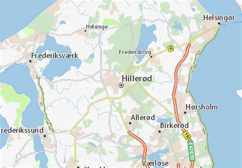
Location: Hillerød 🌎
Location: Hillerød, Denmark
Administration Region: Hovedstaden
Population: 35357
ISO2 Code: Hovedstaden
ISO3 Code: DNK
Location Type: First-level Admin Capital
Latitude: 55.9333
Longitude: 12.3167
Hillerød (Danish pronunciation: [ˈhiləˌʁœðˀ]) is a Danish town with a population of 35,357 (1 January 2022) located in the centre of North Zealand approximately 30 km to the north of Copenhagen, Denmark.
Hillerød is the administrative centre of Hillerød Municipality and also the administrative seat of Region Hovedstaden (Capital Region of Denmark), one of the five regions in Denmark. It is most known for its large Renaissance castle, Frederiksborg Castle, now home to the Museum of National History. Hillerød station is the terminus of one of the radials of the S-train network as well as several local railway lines. The town is surrounded by the former royal forests of Gribskov to the north and Store Dyrehave to the south.
Top Hillerød HD Maps, Free Download 🗺️
Map
Maps
United States
United States
World Map
China
China
