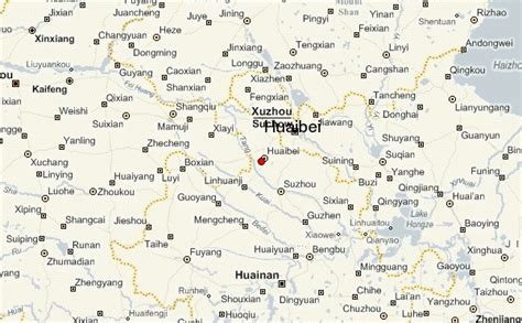
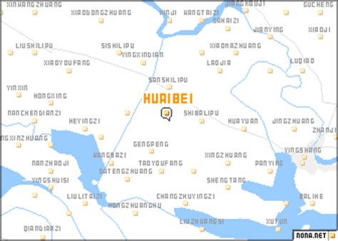
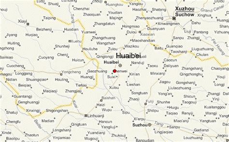
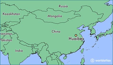
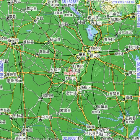
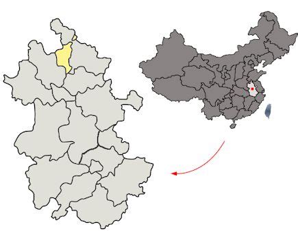
Huaibei (Chinese: 淮北; pinyin: Huáiběi) is a prefecture-level city in northern Anhui Province, China. It borders Suzhou (Anhui) to the east, Bengbu to the south, Bozhou to the west, and the provinces of Henan to the northwest and Jiangsu to the northeast. The population was 1,970,165 inhabitants as of the 2020 census (2,114,276 in 2010), all integrated in the built-up (or metro) area and the city has an administrative area of 2,741 km2 (1,058 sq mi).