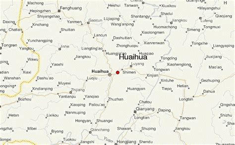
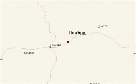
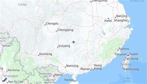
Location: Huaihua 🌎
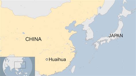
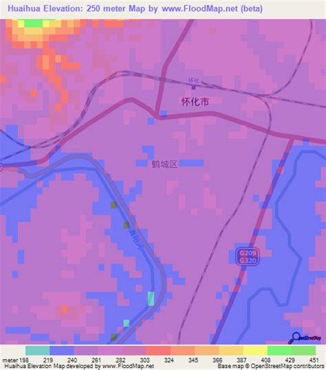
Location: Huaihua, China
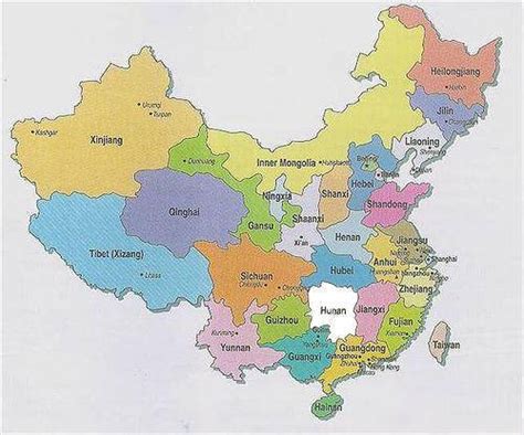
Administration Region: Hunan
Population: 4979600
ISO2 Code: Hunan
ISO3 Code: CHN
Location Type:
Latitude: 27.5698
Longitude: 110.0016
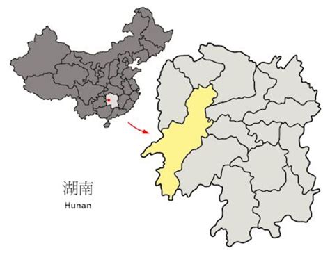
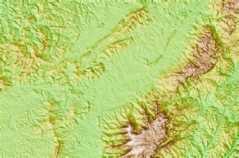
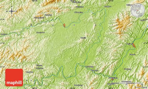
Huaihua (simplified Chinese: 怀化市; traditional Chinese: 懷化市; pinyin: Huáihuà Shì) is a prefecture-level city in the southwest of Hunan province, China. It covers 27,564 km2 (10,643 sq mi) and is bordered by Xiangxi to the northwest, Zhangjiajie and Changde to the north, Yiyang, Loudi and Shaoyang to the east, Guilin and Liuzhou of Guangxi to the south, and Qiandongnan and Tongren of Guizhou to the southwest. It has a population of 4,741,948 (2010 census), accounting for 7.22% of the provincial population. According to the 2010 Census, 2,909,574 people, or 61.4% of the population, are Han Chinese. Minorities constitute 38.6% of the population, with 1,832,289 people. The Dong, Miao, Tujia, Yao and Bai are major native minority groups. Huaihua is the central region of the Dong ethnic population, home to nearly 28.35% of the Chinese Dong ethnic group.Huaihua is very mountainous, being located between the Wuyi and Xuefeng mountain ranges. The Yuan river runs from the south to the north. The forest coverage reached 70.8% in 2015.

Top Huaihua HD Maps, Free Download 🗺️
Map
Maps
United States
United States
World Map
China
China
