Location: Huainan 🌎
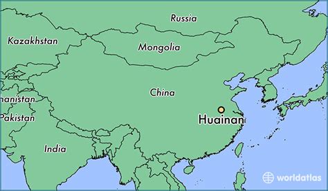
Location: Huainan, China
Administration Region: Anhui
Population: 2333896
ISO2 Code: Anhui
ISO3 Code: CHN
Location Type:
Latitude: 32.6314
Longitude: 117.0194
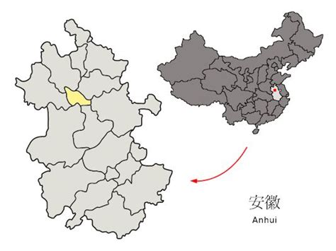
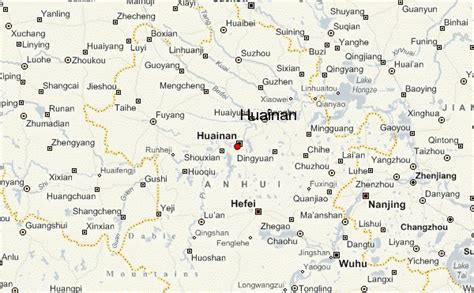
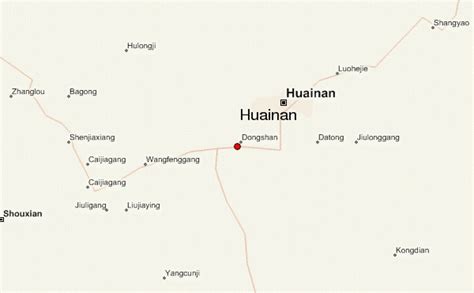
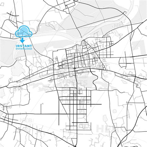
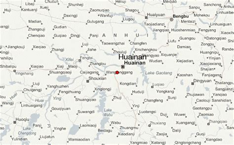
Huainan (Chinese: 淮南; pinyin: Huáinán) is a prefecture-level city with 3,033,528 inhabitants as of the 2020 census in north-central Anhui province, China. It is named for the Han-era Principality of Huainan. It borders the provincial capital of Hefei to the south, Lu’an to the southwest, Fuyang to the west, Bozhou to the northwest, Bengbu to the northeast and Chuzhou to the east. Huainan is one of the core cities of Hefei Metropolitan Circle and is known for its coal industry and thermal power plants. Its built-up area made of 4 urban districts (all but Panji not yet conurbated) and Fengtai County largely being urbanized, was home to 1,868,944 inhabitants as of 2020. Its city flower is the Chinese rose (Rosa chinensis) and its city tree is the Old-World Plane Tree (Platanus orientalis). It is also considered to be the hometown and birthplace of tofu.

Top Huainan HD Maps, Free Download 🗺️
Map
Maps
United States
United States
World Map
China
China
