Location: Huanggang 🌎
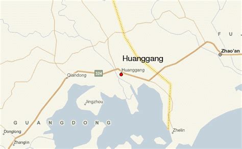
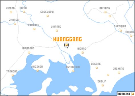
Location: Huanggang, China
Administration Region: Hubei
Population: 6333000
ISO2 Code: Hubei
ISO3 Code: CHN
Location Type: Lower-level Admin Capital
Latitude: 30.4537
Longitude: 114.8724
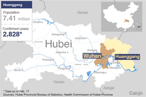
Huanggang is a prefecture-level city in easternmost Hubei Province, China. It is situated to the north of the middle reaches of the Yangtze River and is bounded in the north by the Dabie Mountains and is named after Mount Huanggang. It borders Henan in the north, Anhui in the east and Jiangxi in the south.
The city’s administrative area covers 17,453 square kilometers (6,739 sq mi) and the total population was 5,882,719 as of the 2020 census whom 456,862 resided in the Huangzhou urban district, making it the second most populous city in the province by administrative population, after Wuhan, the provincial capital. the Ezhou – Huanggang built-up (or metro) area was home to 1,152,559 inhabitants comprising (Echeng district and Huangzhou district of Huanggang), and many of its residents work in Wuhan. In 2007, the city is named China’s top ten livable cities by Chinese Cities Brand Value Report, which was released at the 2007 Beijing Summit of China Cities Forum.

Top Huanggang HD Maps, Free Download 🗺️
Map
Maps
United States
United States
World Map
China
China


