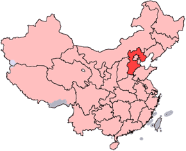
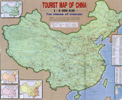
Huanghua (simplified Chinese: 黄骅; traditional Chinese: 黃驊; pinyin: Huánghuá) is a county-level city located in the Bohai Gulf coastal region of Hebei province, China. It is under the jurisdiction of the prefecture-level city of Cangzhou.
Huanghua is named after Chinese Communist revolutionary Huang Hua. Previously it was known as Xinqing County (Chinese: 新青县). It has a total area of 1,544 km2 (596 sq mi), with a coastline of 65.8 km (40.9 mi). The total administrative population is 419,700 in the entire county, with 120,000 people living in the urban area of 18 km2 (6.9 sq mi).
Huanghua has a seaport, Huanghua Port. It is a stop on the Jinshan Expressway that connects Tianjin with Shantou, Guangdong.