Location: Huludao 🌎
Location: Huludao, China
Administration Region: Liaoning
Population: 2623541
ISO2 Code: Liaoning
ISO3 Code: CHN
Location Type: Lower-level Admin Capital
Latitude: 40.711
Longitude: 120.837
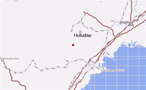
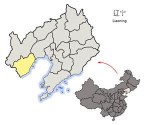
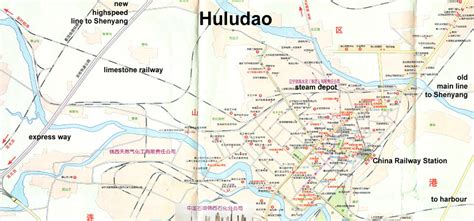
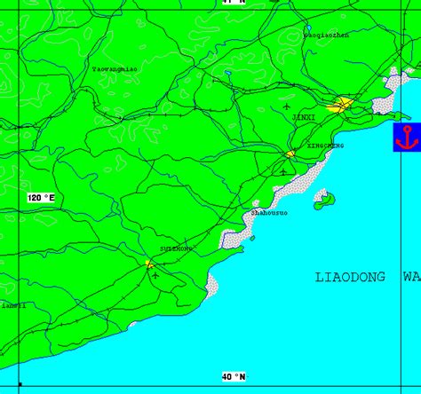
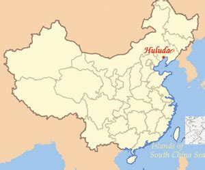
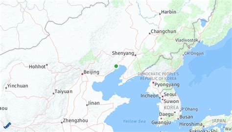
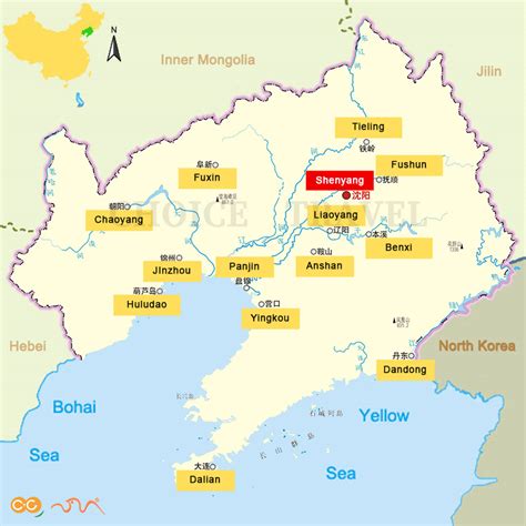
Huludao (simplified Chinese: 葫芦岛; traditional Chinese: 葫蘆島; pinyin: Húludǎo), formerly known as Jinxi (锦西) until 1994, is a coastal prefecture-level city in southwestern Liaoning province, People’s Republic of China. Its name literally means “Gourd Island”, referring to the fiddle-shaped contour of the peninsula (“half-island” in Chinese), which resembles a bottle gourd, at the city’s Longgang District. It has a total area of 10,582 km2 (4,086 sq mi) and as of the 2020 census a population of 2,434,194 of whom 1,252,660 inhabitants lived in the built-up (or metro) area made of the 2 urban districts and Xingcheng City largely being conurbated.Located on the northwestern shore of the Liaodong Bay, Huludao is one of the three principal cities (along with Jinzhou and Hebei province’s Qinhuangdao) in the Liaoxi Corridor, and is Northeast China’s gateway through the Shanhai Pass into North China. It borders Jinzhou to the northeast, Chaoyang to the north, and Qinhuangdao to the southwest, as well as sharing maritime boundaries with Yingkou and Dalian to the east and southeast across the bay.

Top Huludao HD Maps, Free Download 🗺️
Map
Maps
United States
United States
World Map
China
China
