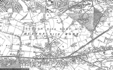
Huyton ( HY-tən) is a town in the Metropolitan Borough of Knowsley, Merseyside, England. Part of the Liverpool Urban Area, it borders the Liverpool suburbs of Dovecot, Knotty Ash and Belle Vale, and the neighbouring village of Roby, with which it formed Huyton with Roby Urban District between 1894 and 1974.Historically in Lancashire, Huyton was an ancient parish which in the mid-19th century contained Croxteth Park, Knowsley and Tarbock, in addition to the township of Huyton-with-Roby. It was part of the hundred of West Derby, an ancient subdivision of Lancashire covering the south-west of the county.