Location: Huzūrābād 🌎
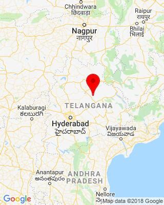
Location: Huzūrābād, India Administration Region: Andhra Pradesh Population: 37665 ISO2 Code: Andhra Pradesh ISO3 Code: IND Location Type: Latitude: 18.2 Longitude: 79.42
Huzurabad is a town in the Huzurabad mandal of Karimnagar district in the Indian state of Telangana. It is a municipality in the district. It is located about 41 kilometres (25 mi) from Karimnagar and 38 kilometres (24 mi) from Warangal. Huzurabad is an educational hub and has general hospital services for nearby towns and villages. The Government High School and Government Junior College have playgrounds and interstate competitions are often held in this town. The best known landmarks in the town are Super Bazaar Road, Old Super Bazaar (jewellery bazaar), DCMS Complex, Hanuman Temple, Karimnagar Road Petrol Bunk, Warangal Road Petrol Bunk, Nataraj Theatre, Annapurna Theatre, the bus depot, K C Camp, Ranganayakula Gutta, Patimedhi Anjaneya Swami Temple and the Government Hospital. Model Cheruvu is the biggest Cheruvu in Huzurabad town and is going to become a reservoir.
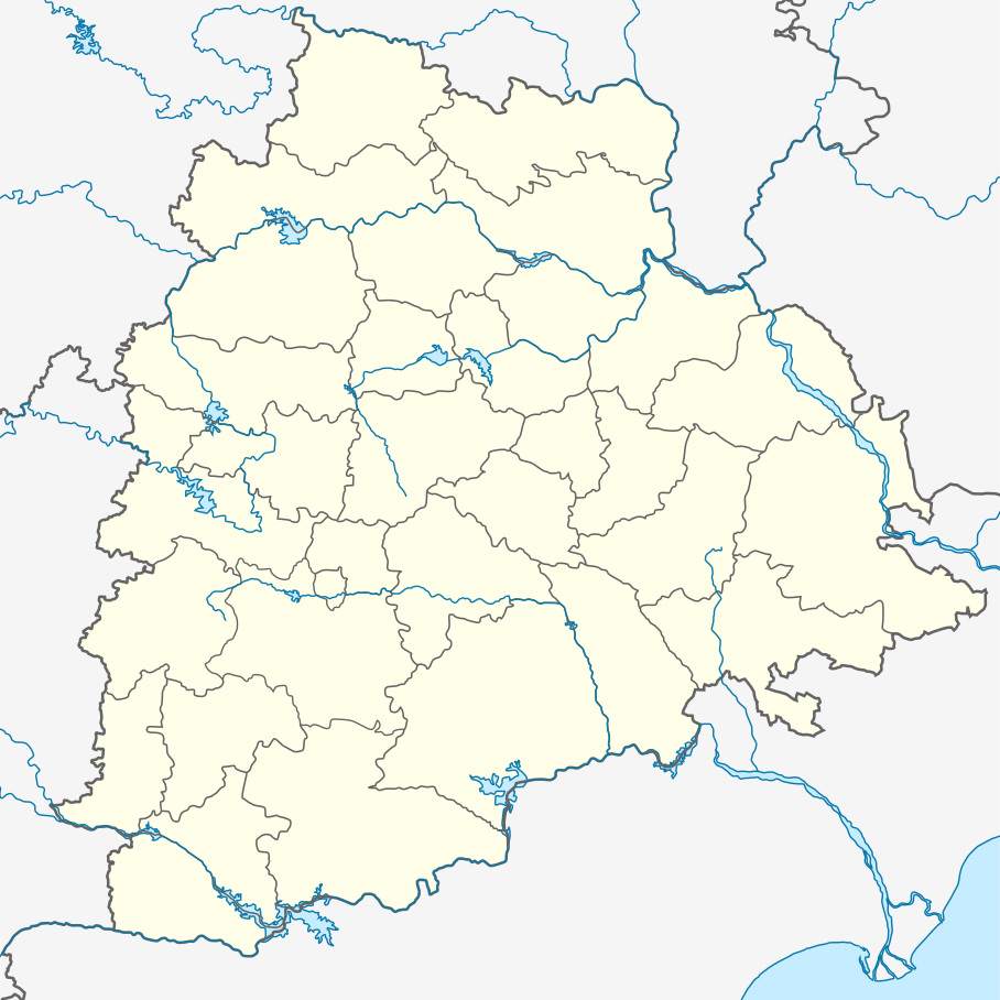
Top Huzūrābād HD Maps, Free Download 🗺️
Map
Maps
United States
United States
World Map
China
China