Location: Ibaraki 🌎
Location: Ibaraki, Japan
Administration Region: Ōsaka
Population: 283835
ISO2 Code: Ōsaka
ISO3 Code: JPN
Location Type:
Latitude: 36.2333
Longitude: 140.2833
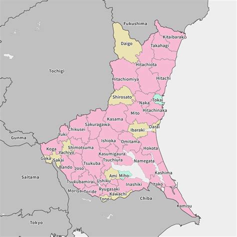
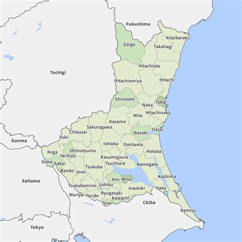
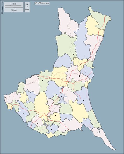
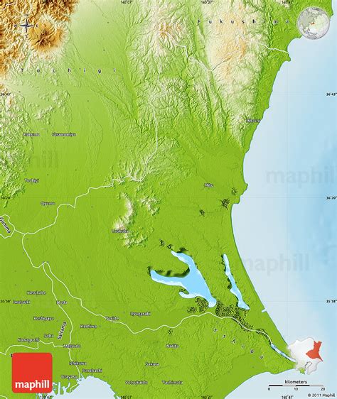
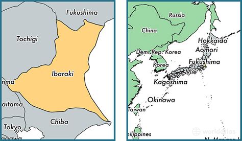
Ibaraki Prefecture (茨城県, Ibaraki-ken) is a prefecture of Japan located in the Kantō region of Honshu. Ibaraki Prefecture has a population of 2,871,199 (1 June 2019) and has a geographic area of 6,097.19 square kilometres (2,354.14 square miles). Ibaraki Prefecture borders Fukushima Prefecture to the north, Tochigi Prefecture to the northwest, Saitama Prefecture to the southwest, Chiba Prefecture to the south, and the Pacific Ocean to the east.
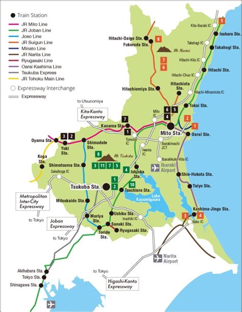
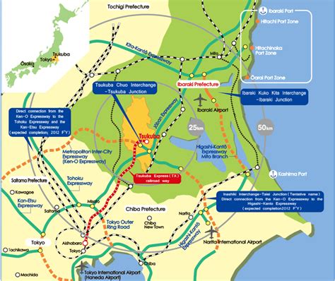
Mito, the capital, is the largest city in Ibaraki Prefecture. Other major cities include Tsukuba, Hitachi, and Hitachinaka. Ibaraki Prefecture is located on Japan’s eastern Pacific coast to the northeast of Tokyo, and is part of the Greater Tokyo Area, the most populous metropolitan area in the world. Ibaraki Prefecture features Lake Kasumigaura, the second-largest lake in Japan; the Tone River, Japan’s second-longest river and largest drainage basin; and Mount Tsukuba, one of the most famous mountains in Japan. Ibaraki Prefecture is also home to Kairaku-en, one of the Three Great Gardens of Japan, and is an important center for the martial art of Aikido.
Top destinations in Ibaraki : Mito, Fukuroda Falls and Ushiku Daibutsu.

Top Ibaraki HD Maps, Free Download 🗺️
Map
Maps
United States
United States
World Map
China
China
