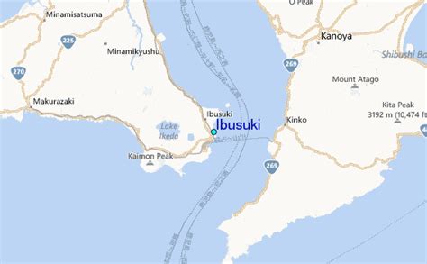
Location: Ibusuki 🌎
Location: Ibusuki, Japan
Administration Region: Kagoshima
Population: 38571
ISO2 Code: Kagoshima
ISO3 Code: JPN
Location Type:
Latitude: 31.2528
Longitude: 130.6331
Ibusuki (指宿市, Ibusuki-shi) is a city located in Kagoshima Prefecture, Japan, founded on April 1, 1954. In March 1, 2012, the city had an estimated population of 43,931, with 19,119 households and a population density of 294.82 persons per km2. However the census of 2020 confirmed a population decline to 39,011 and by October 2022 there were only 17,537 households . The total area is 148.81 km2 (57.46 sq mi) and shares a border with Ei, a town to its north.
On January 1, 2006, the towns of Kaimon and Yamagawa (both from Ibusuki District) were merged into Ibusuki.
Ibusuki can be accessed by Routes 226 and 269 and the Ibusuki Skyline drive. The city’s main railroad station is Ibusuki Station.
Ibusuki is famous for black-sand spas known as sunamushi onsen and the fine noodle sōmen nagashi.Ibusuki has a sister city relationship with Rockhampton, Queensland, Australia.
Top Ibusuki HD Maps, Free Download 🗺️
Map
Maps
United States
United States
World Map
China
China
