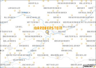
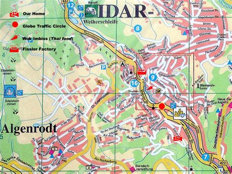
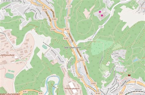
Location: Idar-Oberstein 🌎
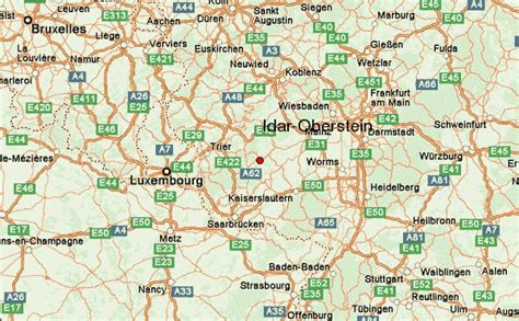
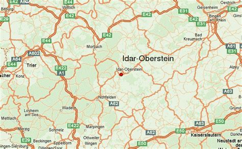
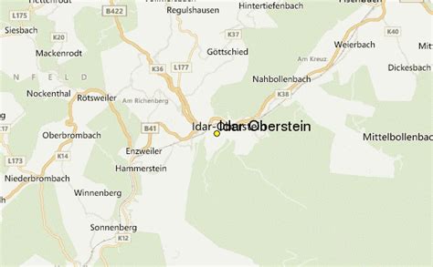
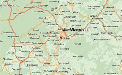
Location: Idar-Oberstein, Germany
Administration Region: Rhineland-Palatinate
Population: 28423
ISO2 Code: Rhineland-Palatinate
ISO3 Code: DEU
Location Type:
Latitude: 49.7114
Longitude: 7.3131
Idar-Oberstein (German: [ˌiːdaːɐ̯ˈʔoːbɐˌʃtaɪ̯n] ) is a town in the Birkenfeld district in Rhineland-Palatinate, Germany. As a Große kreisangehörige Stadt (large city belonging to a district), it assumes some of the responsibilities that for smaller municipalities in the district are assumed by the district administration. Today’s town of Idar-Oberstein is the product of two rounds of administrative reform, one in 1933 and the other in 1969, which saw many municipalities amalgamated into one. The various Stadtteile have, however, retained their original identities, which, aside from the somewhat more urban character encountered in Idar and Oberstein, tend to hearken back to each centre’s history as a rural village. Idar-Oberstein is known as a gemstone town, and also as a garrison town. It is also the largest town in the Hunsrück.
Top Idar-Oberstein HD Maps, Free Download 🗺️
Map
Maps
United States
United States
World Map
China
China
