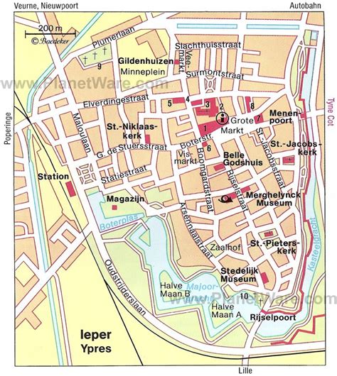
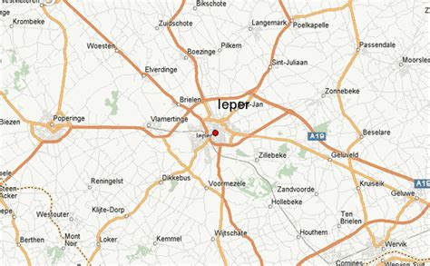
Ypres ( EE-prə, French: [ipʁ]; Dutch: Ieper [ˈipər] ; West Flemish: Yper; German: Ypern [ˈyːpɐn] ) is a Belgian city and municipality in the province of West Flanders. Though
the Dutch name Ieper is the official one, the city’s French name Ypres is most commonly used in English. The municipality comprises the city of Ypres/Ieper and the villages of Boezinge, Brielen, Dikkebus, Elverdinge, Hollebeke, Sint-Jan, Vlamertinge, Voormezele, Zillebeke, and Zuidschote. Together, they are home to about 34,900 inhabitants.
During the First World War, Ypres (or “Wipers” as it was commonly known by the British troops) was the centre of the Battles of Ypres between German and Allied forces.