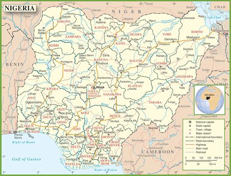
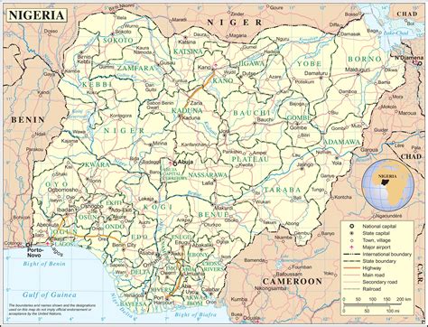
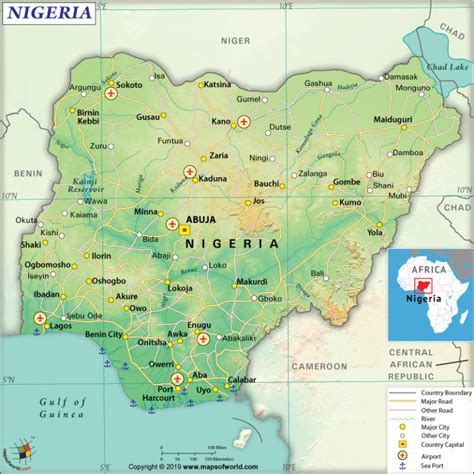
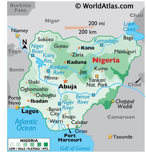
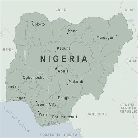
Ikare is a town in the northern senatorial part of Ondo State, Nigeria.
Ikare-Akoko (Ikare for short), town in southwestern Nigeria, is located in the Northern Senatorial District of Ondo State. Ikare is about 100 km from Akure, the Ondo State capital. The city was the divisional headquarters of the old Akoko Division, comprising Oka-Akoko, Isua-Akoko, Okeagbe-Akoko Ugbe Akoko etc. Based on the Local Government System now practised in Nigeria, the city is currently the headquarters of Akoko North-East Local Government. The city is a trading area for farmers of Kolanut,Cocoa, and coffee.
Ikare shares boundaries with Arigidi, Ugbe Akoko, Ogbagi, Oka, Akungba and Supare.Ikare consists of two first class kings: The Owa-Ale of Iyometa Oba Adeleke Adegbite-Adedoyin Adefemi and Oba Saliu Momoh Akadiri Olukare of Ikare-Akoko
Osele market is the Ikare’s biggest communal market where the city’s ancient traditions are displayed, Ikare-Akoko.
Oja Oba is situated in opposite old first Bank, garage Ikare akoko. The city is located in the Yoruba cultural region and has a substantial Christian, Jehovah Witness and Muslim population with several Churches, worshiping halls and Mosques. The architectural style of the city incorporates both Portuguese and Arabic styles. The Portuguese style was introduced in the 16th century when Portugal began to export slaves from the region. Arabic influences were incorporated in the 19th century with the diffusion of Islamic culture Southward across the Sahara.Population as of 2006 was over 700,000.Ikare has been using electricity since the year 1956.