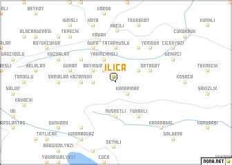
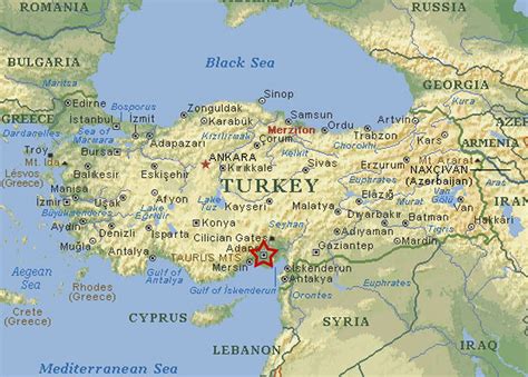
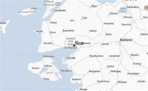
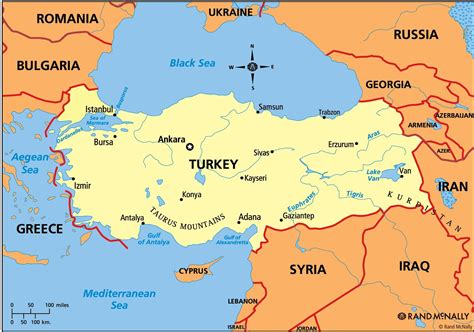
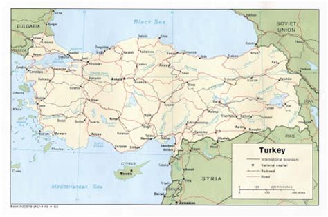
On 6 February 2023, at 04:17 TRT (01:17 UTC), a Mw 7.8 earthquake struck southern and central Turkey and northern and western Syria. The epicenter was 37 km (23 mi) west–northwest of Gaziantep. The earthquake had a maximum Mercalli intensity of XII (Extreme) around the epicenter and in Antakya. It was followed by a Mw 7.7 earthquake at 13:24. This earthquake was centered 95 km (59 mi) north-northeast from the first. There was widespread damage and tens of thousands of fatalities.
The Mw 7.8 earthquake is the largest in Turkey since the 1939 Erzincan earthquake of the same magnitude, and jointly the second-strongest recorded in the history of the country, after the 1668 North Anatolia earthquake. It is also one of the strongest earthquakes ever recorded in the Levant. It was felt as far as Egypt and the Black Sea coast of Turkey. There were more than 10,000 aftershocks in the three weeks that followed. The seismic sequence was the result of shallow strike-slip faulting.
There was widespread damage in an area of about 350,000 km2 (140,000 sq mi) (about the size of Germany). An estimated 14 million people, or 16 percent of Turkey’s population, were affected. Development experts from the United Nations estimated that about 1.5 million people were left homeless.The confirmed death toll stood at 59,259: 50,783 in Turkey, and 8,476 in Syria. It is the deadliest earthquake in what is now present-day Turkey since the 526 Antioch earthquake, and the deadliest natural disaster in its modern history. It is also the deadliest in present-day Syria since the 1822 Aleppo earthquake; the deadliest worldwide since the 2010 Haiti earthquake; and the fifth-deadliest of the 21st century. Damages were estimated at US$104 billion in Turkey and US$14.8 billion in Syria, making them the fourth-costliest earthquakes on record.
Damaged roads, winter storms, and disruption to communications hampered the Disaster and Emergency Management Presidency’s rescue and relief effort, which included a 60,000-strong search-and-rescue force, 5,000 health workers and 30,000 volunteers. Following Turkey’s call for international help, more than 141,000 people from 94 countries joined the rescue effort.