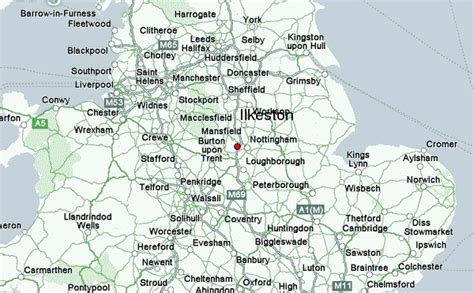
Location: Ilkeston 🌎
Location: Ilkeston, United Kingdom
Administration Region: Derbyshire
Population: 38640
ISO2 Code: Derbyshire
ISO3 Code: GBR
Location Type:
Latitude: 52.971
Longitude: -1.309
Ilkeston is a town in the Borough of Erewash, Derbyshire, England, on the River Erewash, from which the borough takes its name, with a population at the 2011 census of 38,640. Its major industries, coal mining, iron working and lace making/textiles, have now all but disappeared.
The town is close to both Derby and Nottingham and is near the M1 motorway and the border with Nottinghamshire. The eastern boundary of Ilkeston is only two miles from Nottingham’s western edge and it is part of the Nottingham Urban Area.

Top Ilkeston HD Maps, Free Download 🗺️
Map
Maps
United States
United States
World Map
China
China
