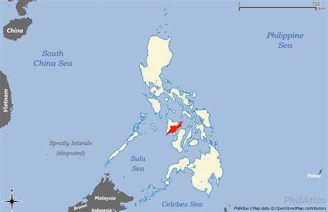
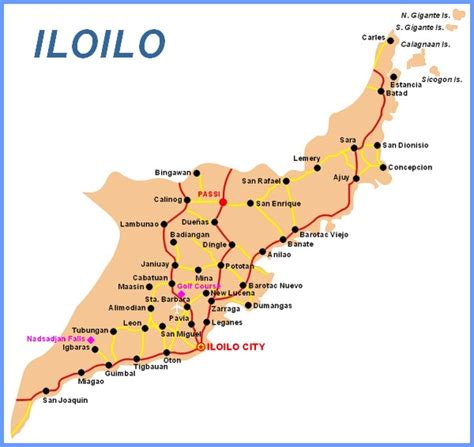
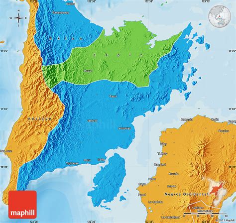
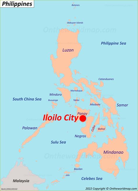
Iloilo ([ɪlo.ˈilo]), officially the Province of Iloilo (Hiligaynon: Kapuoran sang Iloilo; Kinaray-a: Kapuoran kang Iloilo; Tagalog: Lalawigan ng Iloilo), is a province in the Philippines located in the Western Visayas region. Its capital is the City of Iloilo, the regional center of Western Visayas. Iloilo occupies a major southeast portion of the Visayan island of Panay and is bordered by the province of Antique to the west, Capiz to the north, the Jintotolo Channel to the northeast, the Guimaras Strait to the east, and the Iloilo Strait and Panay Gulf to the southwest.
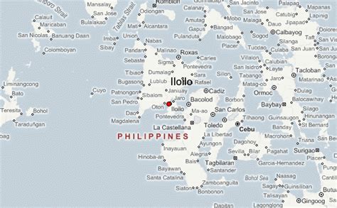
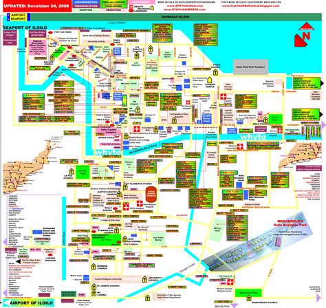
Just off Iloilo’s southeast coast is the island province of Guimaras, once part of Iloilo but now an independent province. Across Panay Gulf and Guimaras Strait is Negros Occidental, occupying the northwestern half of the larger island of Negros. Iloilo City, its capital, is the center of the Iloilo–Guimaras Metropolitan Area or Metro Iloilo–Guimaras, and is geographically located in the province and grouped under it by the Philippine Statistics Authority, but remains politically independent from the provincial government. According to the 2020 census, the population of the province (excluding Iloilo City) is 2,051,899. If Iloilo City is included, the population is 2,509,525 in total.
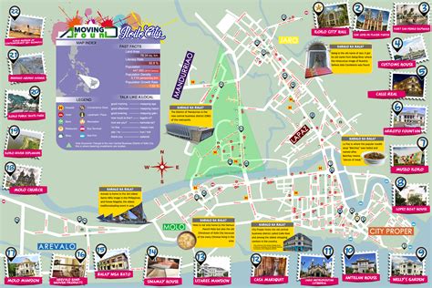
Iloilo is renowned for its rich history and culture, which has resulted in the preservation of numerous old Spanish-era historic sites, including the Miag-ao Church, a UNESCO World Heritage Site in the Philippines, and San Joaquin Campo Santo, which, along with San Joaquin Church and Santa Barbara Church, has been recognized as a National Cultural Treasure by the National Museum of the Philippines. While the southern portion of the province is noted for its Spanish-era churches and structures, the northern portion is noted for its white sand beaches and crystal clear waters, namely the Bantigue Sand Bar, the Tangke Lagoon, Cabugao Island, and Antonia Island, which are all part of the Islas de Gigantes. Sicogon Island, located to the south of the group of islands, is also a tourist island destination in the province that is slowly regaining its popularity after the stalled development caused by martial law in the 1970s.