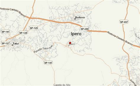
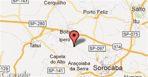
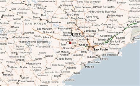
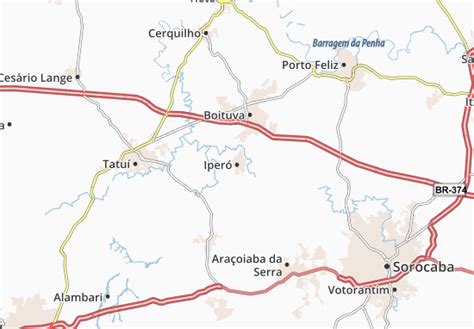
Location: Iperó 🌎
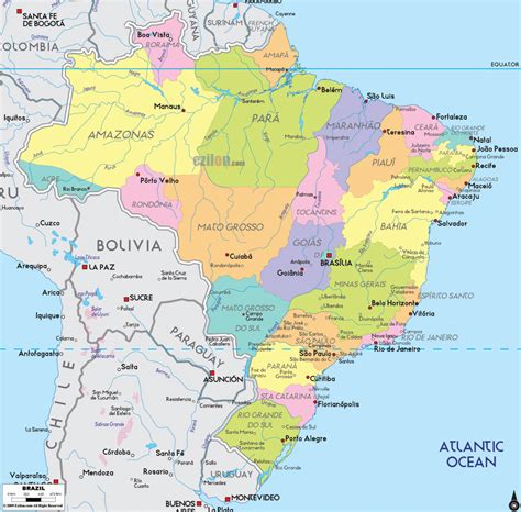
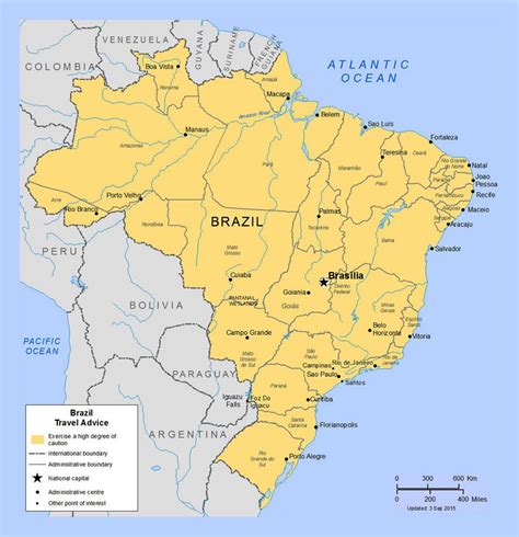
Location: Iperó, Brazil
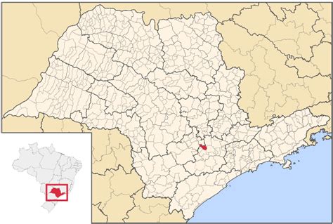
Administration Region: São Paulo
Population: 33367
ISO2 Code: São Paulo
ISO3 Code: BRA
Location Type:
Latitude: -23.3503
Longitude: -47.6886
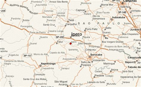
Iperó is a municipality in the state of São Paulo in Brazil. It is part of the Metropolitan Region of Sorocaba. The population is 37,964 (2020 est.) in an area of 170.29 km². The elevation is 590 m. The Sorocaba River flows near Iperó. Iperó is accessed with the highway SP-280.

Top Iperó HD Maps, Free Download 🗺️
Map
Maps
United States
United States
World Map
China
China
