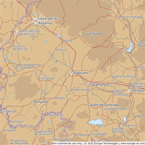
Location: Irapuato 🌎
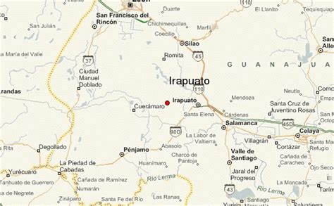
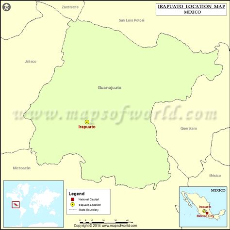
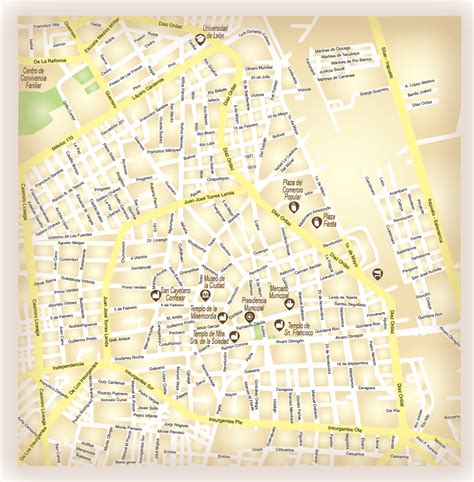
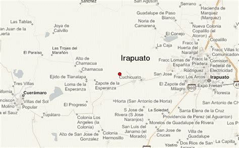
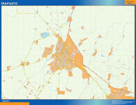
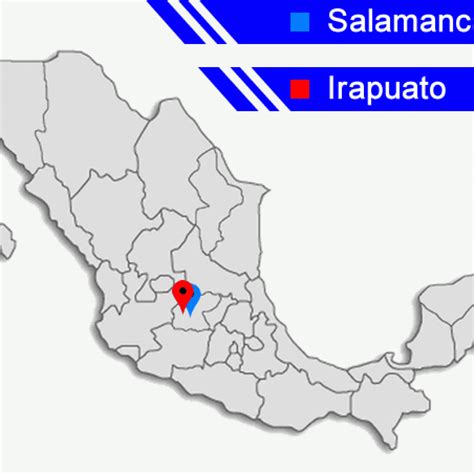
Location: Irapuato, Mexico Administration Region: Guanajuato Population: 592953 ISO2 Code: Guanajuato ISO3 Code: MEX Location Type: Lower-level Admin Capital Latitude: 20.6667 Longitude: -101.35
Irapuato is a Mexican city (and municipality) located at the foot of the Arandas Hill (in Spanish: Cerro de Arandas), in the central region of the state of Guanajuato. It lies between the Silao River and the Guanajuato River, a tributary of the Lerma River, at 1,724 m (5,656 ft) above sea level. It is located at 20°40′N 101°21′W. The city is the second-largest in the state (only behind León), with a population of 342,561 according to the 2005 census, while its municipality has a population of 529,440. The municipality has an area of 845.1 km2 (326.3 sq mi) and includes numerous smaller outlying communities. Although it is now an important center for regional trade and transportation center as well the site of several automotive and chemical manufacturing plants, the city’s main industry has historically been agriculture and it has long been known for its strawberries and the raising of pigs and cattle. The fruits and flowers of Irapuato’s luxurious gardens are well known throughout Mexico.

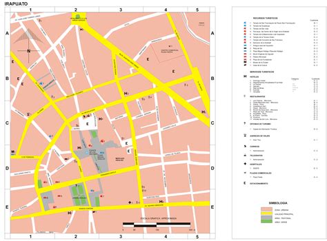
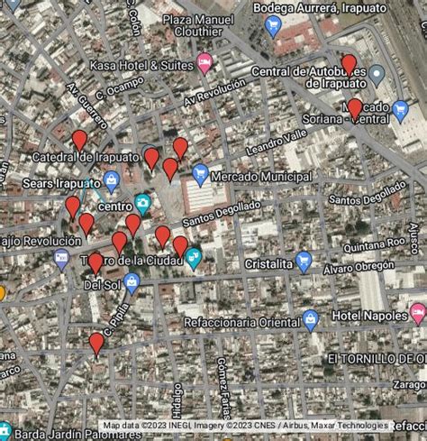
Top Irapuato HD Maps, Free Download 🗺️
Map
Maps
United States
United States
World Map
China
China