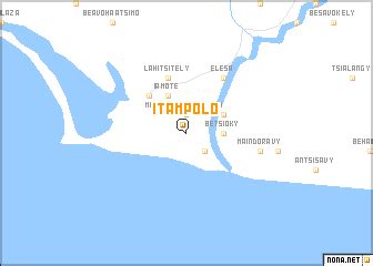
Location: Itampolo 🌎
Location: Itampolo, Madagascar
Administration Region: Toliara
Population: 32000
ISO2 Code: Toliara
ISO3 Code: MDG
Location Type:
Latitude: -24.6833
Longitude: 43.95
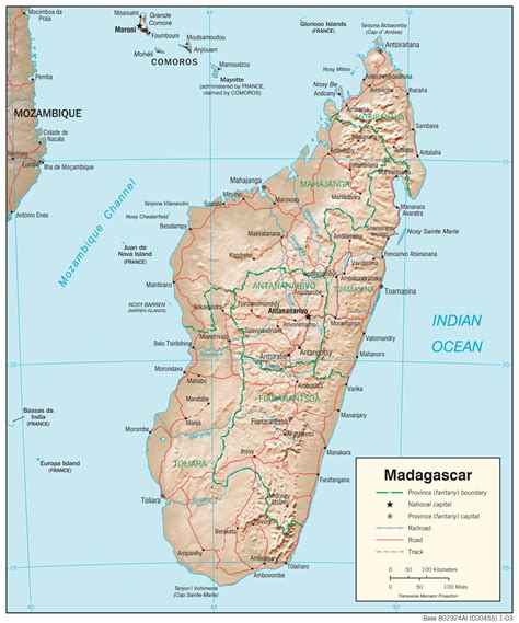
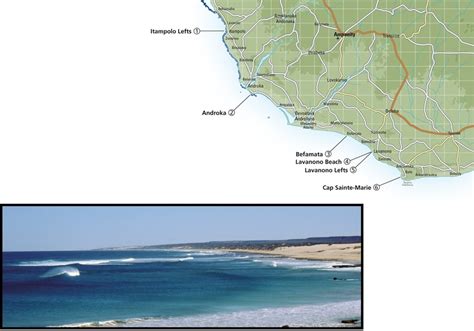
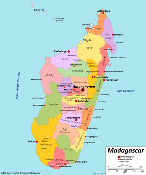
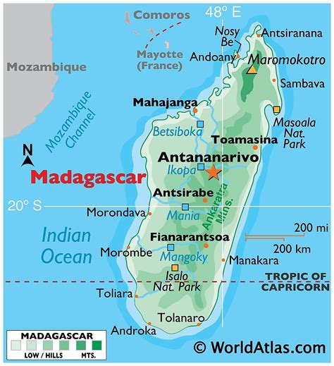
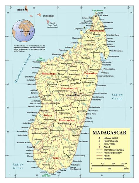
Itampolo is a town and commune (Malagasy: kaominina) in southwestern Madagascar. It belongs to the district of Ampanihy, which is a part of Atsimo-Andrefana Region. The population of the commune was estimated to be approximately 32,000 in 2001 commune census.Only primary schooling is available. The majority 60% of the population of the commune are farmers, while an additional 20% receives their livelihood from raising livestock. The most important crops are cassava and peas, while other important agricultural products are maize and sweet potatoes. Services provide employment for 5% of the population. Additionally fishing employs 15% of the population.
Top Itampolo HD Maps, Free Download 🗺️
Map
Maps
United States
United States
World Map
China
China

